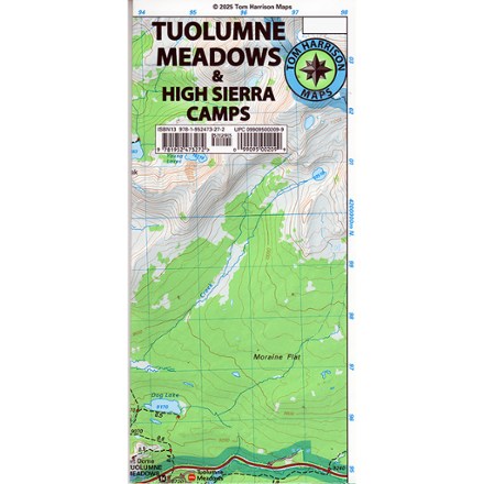
Tom Harrison Cartography  Novato-North Marin Trail Map

$8.95
Quantity

Members get an estimated 10% back on this item as a part of your annual .

Members get an estimated 10% back on this item.
To buy,  sign in as an REI Co-op Member or join now.

Discover hiking, running and mountain biking trails in the Tom Harrison Cartography Novato–North Marin trail map, and explore all this rolling, oak-studded region has to offer.

Features

  • Map covers Rush Creek, Deer Island, Indian Tree, Little Mountain, Verissimo Hills, Stafford Lake County Park, Olompali State Historic Park, Petaluma Marsh and Mount Burdell
  • Full-color shaded-relief topographic map on high-quality tear- and water-resistant paper; folds up easily and is easy to read in all conditions
  • Tom Harrison maps include color-coded symbols and trails, mileage between trail junctions, UTM grids, contour lines, vegetation and elevations at trail junctions

Made in USA.

View all Tom Harrison Cartography California Maps

Technical Specs

Best Use

Hiking

Folded Dimensions

9 x 4 x 0.1 inches

Unfolded Dimensions

24 x 18 inches

Map Scale

1:24,000

Double Sided

Yes

Waterproof

Yes

Publisher

Tom Harrison Cartography

Copyright Year

2007

State / Province

California

Reviews
0 reviews

Loading Reviews...

Questions & Answers

Loading Questions...