Skip to search results
loaded 4 results
DeLorme Mountain West Maps
(4 products)Products (4)
Sort: Best Match
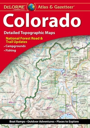
- DeLormeColorado Atlas and Gazetteer$29.95
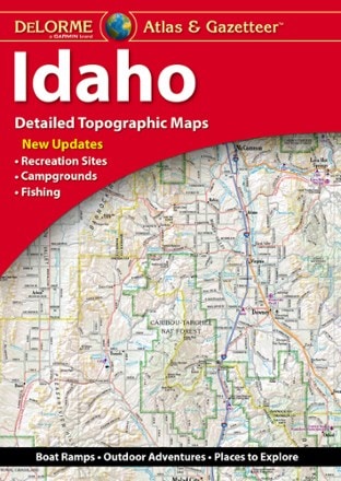
- DeLormeIdaho Atlas and Gazetteer$29.95
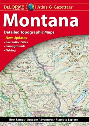
- DeLormeMontana Atlas and Gazetteer$29.95
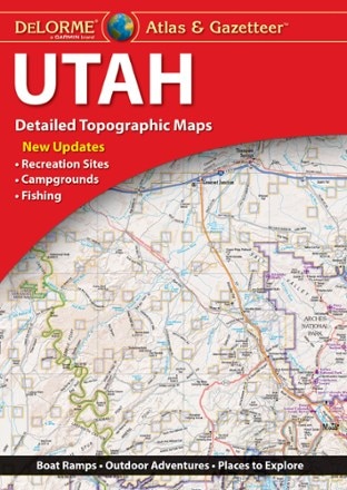
- DeLormeUtah Atlas & Gazetteer$29.95

Earn 15% in total rewards
Get 5% on all REI Co-op purchases plus the 10% Co-op Member Reward you earn on eligible full-price purchases.
Apply now
Terms apply

Sort: Best Match