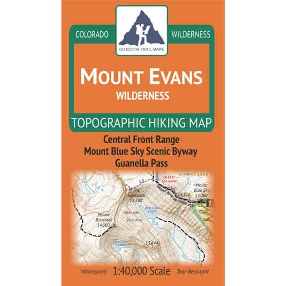

Outdoor Trail Maps Mount Evans Wilderness Map - 2026 Edition
$9.95
Find new hiking trails in and around the Mount Evans Wilderness. This map from Outdoor Trail Maps features hiking trails, trailheads and more. It is perfect for day hikes or multiday trips.
- Covers hiking trails of the Mount Evans Wilderness—the wilderness most prominently visible west of Denver, Colorado
- Includes the 14ers Mount Blue Sky and Mount Bierstadt
- Features hiking trails, trailheads and more across the entire wilderness; perfect for day hikers or multiday backpackers of all levels
- Waterproof and tear-resistant; designed for on-trail use in the harshest backcountry conditions
- 1:40,000 scale (1 in. ~ 0.63 mi)
- 4 x 7 in. folded size to comfortably fit in your pocket; 26.75 x 18.75 in. unfolded; easy to fold
- Lightweight—weighs under 2 oz. for light backpacking and hiking
- Trail segment mileages for all trails to easily estimate hike distances on winding trails
- Lat-long coordinates for trailheads and key trail junctions for easy use with GPS devices
- 50 ft. contour lines with easy-to-follow 250 ft. and 1,000 ft. index contours
- Accurate, intuitive and easy-to-use for all levels of experience
- Both UTM and latitude-longitude grids shown on the map
Made in USA.
View all Outdoor Trail Maps Colorado Maps| Best Use | Hiking Backpacking |
|---|---|
| State / Province | Colorado |
| Folded Dimensions | 7 x 4 x 0.2 inches |
| Unfolded Dimensions | 26.75 x 18.75 inches |
| Map Scale | 1:40,000 |
| Double Sided | Yes |
| Waterproof | Yes |
| Publisher | Outdoor Trail Maps |
| Copyright Year | 2026 |
| Map Number | OTMMEW26 |
Be the first to write a review!
Adding a review will require a valid email for verification