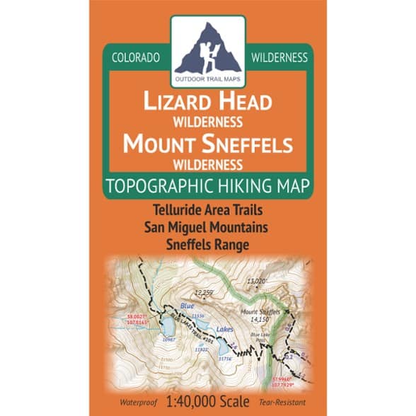

Outdoor Trail Maps Lizard Head / Mount Sneffels Wilderness Map - 2026 Edition
$9.95
Explore the wilderness areas around Telluride, Colorado. This map from Outdoor Trail Maps features hiking trails, trailheads and public lands. It is perfect for day hikes or multiday trips.
- Covers the hiking trails in the wilderness areas near Telluride, Colorado—including the Lizard Head Wilderness and Mount Sneffels Wilderness areas
- Features hiking trails, trailheads and public lands across all of these areas; perfect for day hikers or multiday backpackers of all levels
- Waterproof and tear-resistant; designed for on-trail use in the harshest backcountry conditions
- 1:40,000 scale (1 in. ~ 0.63 mi)
- 4 x 7 in. folded size to comfortably fit in your pocket; 26.75 x 18.75 in. unfolded; easy to fold
- Lightweight—weighs under 2 oz. for light backpacking and hiking
- Trail segment mileages for all trails to easily estimate hike distances on winding trails
- Lat-long coordinates for trailheads and key trail junctions for easy use with GPS devices
- 50 ft. contour lines with easy-to-follow 250 ft. and 1,000 ft. index contours
- Accurate, intuitive and easy-to-use for all levels of experience
- Both UTM and latitude-longitude grids shown on the map
Made in USA.
View all Outdoor Trail Maps Colorado Maps| Best Use | Hiking Backpacking |
|---|---|
| State / Province | Colorado |
| Folded Dimensions | 7 x 4 x 0.2 inches |
| Unfolded Dimensions | 26.75 x 18.75 inches |
| Map Scale | 1:40,000 |
| Double Sided | Yes |
| Waterproof | Yes |
| Publisher | Outdoor Trail Maps |
| Copyright Year | 2026 |
| Map Number | OTMLHMSW26 |
Be the first to write a review!
Adding a review will require a valid email for verification