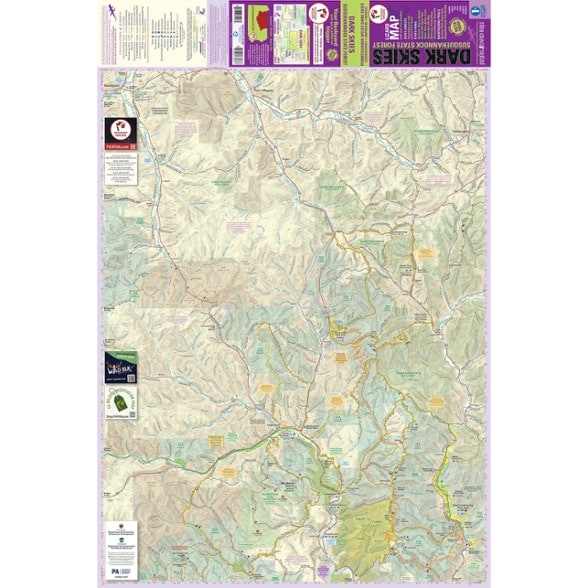


Purple Lizard Maps Dark Skies / Susquehannock State Forest Lizard Map
$20.00
Members get an est. $2.00 in rewards
Explore the Susquehannock State Forest region of Pennsylvania with this map from Purple Lizards Maps. It guides you to state parks, hikes, gravel roads and Dark Skies viewing areas.
- Produced in partnership with the PA Wilds Center, this map unlocks a truly special outdoor recreation landscape
- This map covers the entire 265,000-acre Susquehannock State Forest
- Also covers portions of Sproul and Elk State Forests, Hammersley and Square Timber Wild Areas, and the Susquehannock Trail System
- Includes nearby gateway communities including Coudersport, Galeton, Emporium, Renovo, Smethport and Port Allegany
- Covers 12 state parks including Sinnemahoning, Denton Hill, Kettle Creek, Lyman Run and, of course, Cherry Springs (a nationally designated Dark Skies park)
- Also covers long-distance hiking trails, including the full 84-mile Susquehannock Trail System, the Bucktail Path and sections of the Donut Hole Trail
- Includes scenic gravel roads and remote backcountry routes
- Includes scenic overlooks, waterfalls, mountain streams, campsites and more unique natural features throughout the region
- Features Dark Skies viewing areas, including Cherry Springs State Park Astronomy Field and the May Hollow Skyway
- Cherry Springs State Park, which is included on the Dark Skies Purple Lizard Map, is one of the most recognized dark-sky destinations in the country
- Exceptional night-sky viewing opportunities extend throughout the surrounding state forests, public lands, overlooks and mountain vistas across the broader region
- This landscape is extraordinary in every direction: vast swaths of remote public land, winding backroads, quiet trails, mountain streams and so much more
Made in USA.
View all Purple Lizard Maps New England and Mid-Atlantic Maps| Best Use | Hiking |
|---|---|
| State / Province | Pennsylvania |
| Folded Dimensions | 8 x 4 inches |
| Unfolded Dimensions | 36 x 24 inches |
| Map Scale | 1:63,153 |
| Double Sided | Yes |
| Waterproof | Yes |
| Publisher | Purple Lizard Maps |
| Copyright Year | 2026 |
Be the first to write a review!
Adding a review will require a valid email for verification