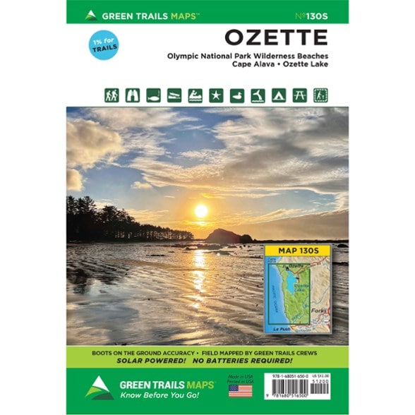

Green Trails Map 130S - Ozette
$12.00
Explore the Ozette area along the coast of Washington State with this Green Trails map. It covers Cape Alava to Rialto Beach Picnic Area.
- Includes Ozette Triangle (Cape Alava Trail, Beach Walk, Sand Point Trail), Ericsons Bay Trail, Ozette Lake, Wedding Rocks, Sand Point, and South Sand Point
- Also includes Yellow Banks, Norwegian Memorial, Kayostia Beach, Cedar Creek, Starbuck Mine Site, Cape Johnson, Chilean Memorial, Hole-in-the-Wall, and Rialto Beach
- Green Trails Maps show current trail, road and access information to national forests, national parks, state and local parks, and other public lands
- 2026 edition
Made in USA.
View all Green Trails Washington and Oregon Maps| Best Use | Hiking |
|---|---|
| State / Province | Washington |
| Folded Dimensions | 9 x 6 inches |
| Unfolded Dimensions | 18 x 12 inches |
| Map Scale | 1:69,500 |
| Double Sided | Yes |
| Waterproof | Yes |
| Publisher | Green Trails Maps |
| Copyright Year | 2026 |
| Sustainability | Contains recycled materials |
| Map Number | 130S |
Be the first to write a review!
Adding a review will require a valid email for verification