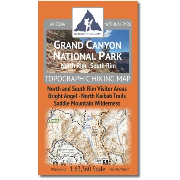

Outdoor Trail Maps Grand Canyon National Park North Rim - South Rim Hiking Map
$9.95
Explore Grand Canyon National Park with this Outdoor Trail Maps hiking map. It shows the popular backpacking and hiking areas of the North Rim and South Rim. The map folds up to fit in a pocket.
- This map does not show the entire national park, but rather the popular North Rim and South Rim areas of the park
- Waterproof and tear-resistant; designed for on-trail use in the harshest backcountry conditions
- 1:63,360 scale (1 in. = 1 mi.)
- Measures 7 x 4 in. when folded to comfortably fit in your pocket; 26.75 x 18.75 in. unfolded; the map is easy to fold
- Lightweight; weighs under 2 oz. for light backpacking and hiking
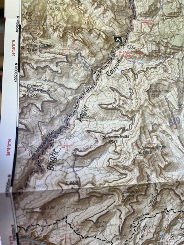
- Trail segment mileages for all trails to easily estimate hike distances on winding trails
- Latitude-longitude coordinates for trailheads and key trail junctions; easy use with GPS devices
- 50 ft. contour lines with easy-to-follow 250 ft. and 1000 ft. index contours
- Accurate, intuitive and easy to use for all levels of experience
- Both UTM and latitude-longitude grids shown on the map
Made in USA.
View all Outdoor Trail Maps Southwest Maps| Best Use | Hiking |
|---|---|
| State / Province | Arizona |
| Folded Dimensions | 7 x 4 x 0.2 inches |
| Unfolded Dimensions | 26.75 x 18.75 inches |
| Map Scale | 1:63,360 |
| Double Sided | Yes |
| Waterproof | Yes |
| Publisher | Outdoor Trail Maps |
| Copyright Year | 2025 |
| Map Number | OTMAZGC |
Write a Review
Adding a review will require a valid email for verification
Customer Images
Location:Seattle
2 weeks ago
Very difficult to read, poorly desgned
No, I do not recommend this product
Simply a terrible map. Way too many lines, tiny print, make this a very difficult map to read. Worse, the Kaibab trail is right on the edge of the map, the North Kaibab actually runs off the map, forcing one to change sides. If you're hiking Rim to Rim, the park's 'Hiking into the Canyon' trail map is better, and it's free.