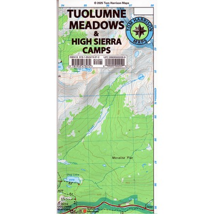
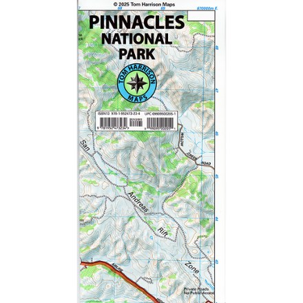
Tom Harrison Cartography Mineral King Trail Map
This product is not available.
Plan your next adventure with the Tom Harrison Cartography Mineral King Trail Map, and discover this stunning subalpine glacial valley in the southern part of California's Sequoia National Park.
Shop similar products- A remote yet accessible region, Mineral King is crisscrossed with hiking trails and dotted with trout-fishing lakes
- This map covers Bearpaw Meadow, Franklin Pass, Little Five Lakes, Hockett Meadow High Sierra Trail, Funston Meadow High Sierra Trail, Silver City and Chagoopa Plateau
- Full-color shaded-relief topographic map on high-quality tear- and water-resistant paper; folds up easily and is easy to read in all conditions
- Tom Harrison maps include color-coded symbols and trails, mileage between trail junctions, UTM grids, contour lines, vegetation and elevations at trail junctions
Made in USA.
View all Tom Harrison Cartography California MapsBest Use | Hiking |
---|---|
Folded Dimensions | 9 x 4.2 x 0.1 inches |
Unfolded Dimensions | 26.5 x 17 inches |
Map Scale | 1:63,360 |
Double Sided | Yes |
Waterproof | Yes |
Publisher | Tom Harrison Cartography |
Copyright Year | 2016 |
State / Province | California |