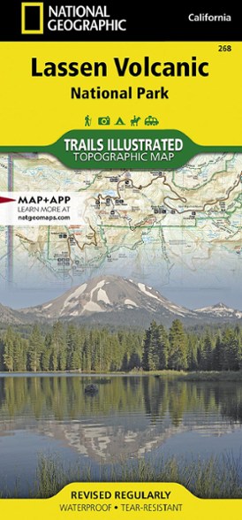


National Geographic Lassen Volcanic National Park Topographic Map
$14.95
The expertly researched Trails Illustrated Lassen Volcanic National Park topographic map is a valuable tool for exploring the park's fumaroles, hot springs, mud pots, mountain lakes and forests.
- Created in partnership with local land management agencies, this map features trails in the national park and adjacent national forests
- Includes Lassen Peak, Lassen Volcanic and Caribou wildernesses, Cinder Cone, Juniper, Snag and Butte lakes, Volcanic Legacy Scenic Byway and a detailed inset of Manzanita Lake
- Easy-to-read, detailed mapping shows comprehensive trail and road networks along with designated trails for hiking, horseback riding, biking, motorized and non-motorized use
- Clearly marked navigational aids with UTM coordinate grids, scale bar and full legend are essential for safely navigating the backcountry with a GPS or compass
- Shows key points of interest such as scenic views, campgrounds, trailheads, boat launches and picnic sites
- Color-coded boundaries for public lands, including national parks, national forests, national monuments, ranger districts, wilderness areas, state parks and wildlife refuges
- Printed in the USA on a durable, lightweight, waterproof, tear-resistant material to withstand all weather conditions
- Folded dimensions: 4.25 x 9.25 in.; unfolded dimensions: 37.75 x 25.5 in.
- 1:50,000 scale
- National Geographic Maps; copyright 2015
Made in USA.
View the National Geographic Trails Illustrated Product LineView all National Geographic California Maps| Best Use | Hiking |
|---|---|
| State / Province | California |
| Map Number | 268 |
Write a Review
Adding a review will require a valid email for verification
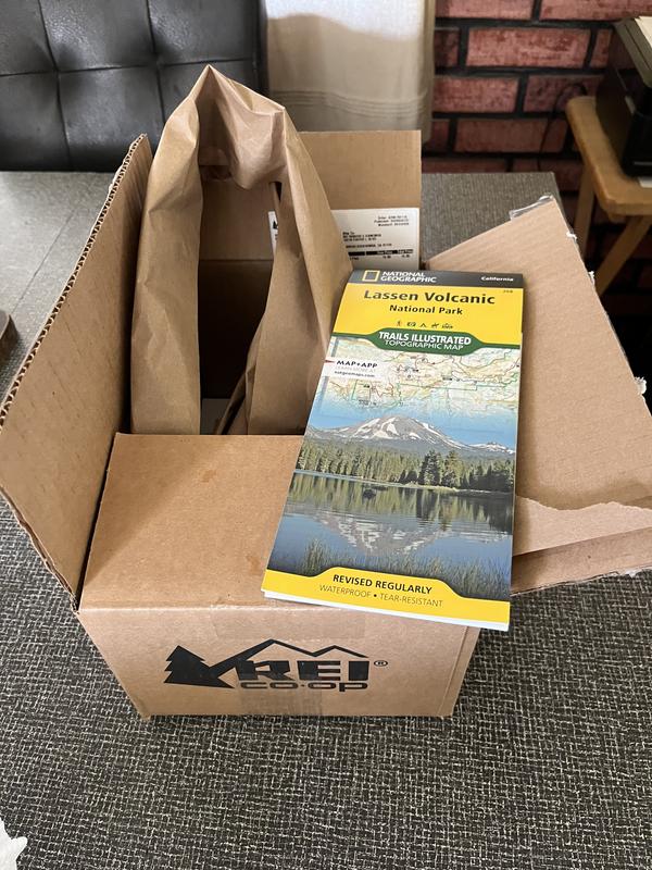
Customer Images
Age:75 or over
2 years ago
A Map In A Box?
Was surprised to see a map shipped in a fairly big box but it arrived at the store in a timely manner.
Age:75 or over
Location:California
Age:55–64
2 years ago
Harrison has much better definition and detail
No, I do not recommend this product
I was disappointed to only find Nat'l Geo maps when i have come so dependent on Harrison. Please keep Harrison topos on the shelf.
Age:55–64
Location:Oroville, CA
Age:45–54
5 years ago
Excellent for the GPS-phobic
Yes , I recommend this product
Very detailed and informative! Will be using for our socially distanced bird-watching trips with Audubon this summer.
Age:45–54
Location:Rancho Cordova ca
Age:45–54
2 years ago
Only map to Use
This is the only map we use. Easy use and easy to read. Durable and accurate.
Age:45–54