
Pisgah Map Co Grandfather Ranger District Map
This product is not available.
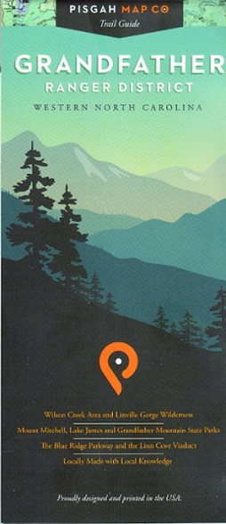
With precisely drawn trails, the Grandfather Ranger District map offers topographic detail and map icons to guide you through spectacular natural features of North Carolina's Pisgah National Forest.
Shop similar products- Trails indicated on this map are part of official trail systems
- Includes trailheads, facilities, trail designations, official roads and byways
- Topographic contour lines represent 50 ft. elevation changes
- Colorful map is printed on waterproof, tear-proof paper
Made in USA.
View all Pisgah Map Co Southeast Maps| Best Use | Hiking |
|---|---|
| Folded Dimensions | 4 x 9 inches |
| Unfolded Dimensions | 38 x 25.75 inches |
| Map Scale | 1:60,000 |
| Waterproof | Yes |
| Publisher | Pisgah Map Co |
| Copyright Year | 2018 |
| State / Province | North Carolina |
Be the first to write a review!
Adding a review will require a valid email for verification