

National Geographic Mount Rogers High Country Map
This product is not available.
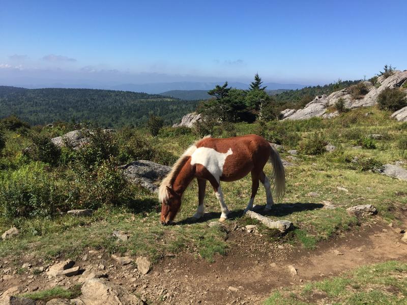
The National Geographic Trails Illustrated Mount Rogers High Country map offers detailed coverage of the landscapes and sweeping vistas found in Virginia's Grayson Highlands State Park.
Shop similar products- Lists valuable wilderness tips and Leave No Trace guidelines, along with updated trails, points of interest, campgrounds and much more
- Printed on waterproof, tear-resistant material with a plastic coating that offers supreme durability for your next outdoor adventure
- Includes selected waypoints in both lat./lon. and UTM coordinate systems as well as GPS-compatible UTM grid lines for easy navigation
- Scale of 1:75,000 and 1:35,000
- National Geographic Maps; copyright 2013
Imported.
View the National Geographic Trails Illustrated Product LineView all National Geographic Southeast Maps| Best Use | Hiking |
|---|---|
| State / Province | Virginia |
| Map Number | 318 |
Write a Review
Adding a review will require a valid email for verification
Customer Images
9 years ago
Did exactly what I wanted
Yes , I recommend this product
We hiked three trails in the Grayson Highland and Mt Ridgers area. The map was helpful in selecting the trails. The map was spot-on accurate. This map was worth the investment. We will be using it again in the future.