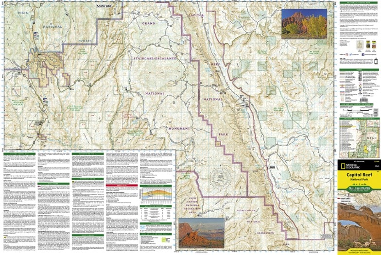
National Geographic Capitol Reef National Park Trail Map
The National Geographic Trails Illustrated Capitol Reef National Park trail map offers clear, detailed coverage of this part of Utah's amazing geology.
- Lists wilderness tips and Leave No Trace guidelines, along with trails, trailheads, points of interest, campgrounds, geologic history and much more
- Printed on waterproof, tear-resistant material with a plastic coating for exceptional durability
- Includes selected waypoints in both lat./lon. and UTM coordinate systems as well as GPS-compatible UTM grid lines for easy navigation
- This Trails Illustrated Capitol Reef National Park trail map has a scale of 1:75,000
Made in USA.
View the National Geographic Trails Illustrated Product LineView all National Geographic Mountain West Maps| Best Use | Hiking |
|---|---|
| Map Scale | 1:75,000 |
| Waterproof | Yes |
| Publisher | National Geographic Maps |
| Copyright Year | 2013 |
| State / Province | Utah |
| Map Number | 267 |
Write a Review
Adding a review will require a valid email for verification
Scuba gear is unnecessary (fyi)
All useful info. Warning about potentially impassible dirt roads didn't seem applicable based off of ranger feedback which said the roads in question were used so much that they'd be fine for any car (I drive a Honda Civic - they were fine. Middle section of Capitol Reef)

