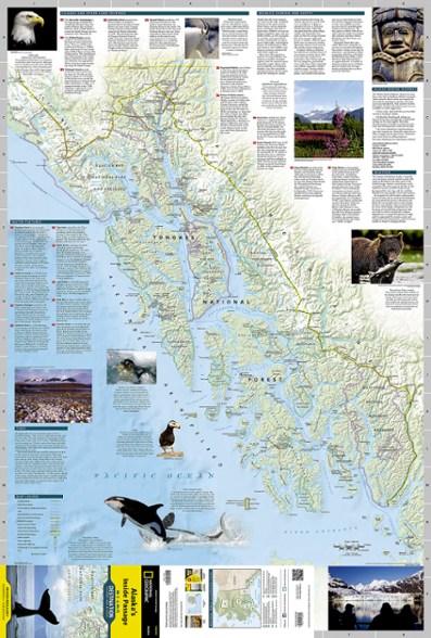
National Geographic Alaska's Inside Passage Destination Map
The National Geographic Alaska's Inside Passage Destination map combines a highly detailed shaded relief map of southeast Alaska, complete with visitor and guidebook information.
- Map includes park roads, trails, points of interest, historical notes, photos and suggested itineraries
- Printed on waterproof, tear-resistant paper
- 4.25 x 9.25 in. folded; 26 x 38 in. unfolded
- National Geographic Maps; copyright 2011
Made in USA.
View all National Geographic Hawaii and Alaska Maps| Best Use | Travel |
|---|---|
| State / Province | Alaska |
Write a Review
Adding a review will require a valid email for verification
Useful Map
This is a useful map for those traveling in this region as it will help you navigate as you travel on the ferries and explore the region. However, it does not attempt to provide camping locations, such as state parks, that would be useful for the traveler. There are many excellent places to camp that could have been shown. The map needs great data density to fulfill its potential.
Great Inside Passage Map
I bought this map before taking the ferry from Haines, AK to Prince Rupert, BC. It was great. It enhanced our understanding and enjoyment of the journey. Detailed, colorful and very clear.

