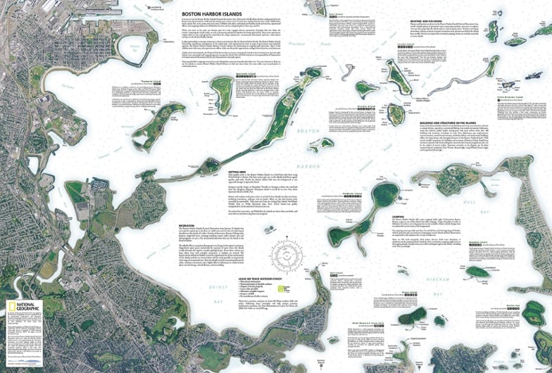
National Geographic Boston Harbor Islands National Recreation Area Topographic Map
This product is not available.
The Trails Illustrated Boston Harbor Islands National Recreation Area topographic map is an essential travel companion for visitors enjoying this area's abundant recreational opportunities.
Shop similar products- The front side of the map contains both topography and bathymetry, while the reverse side shows the area in high-resolution satellite imagery
- Provides unparalleled detail of all 34 harbor islands, shorelines, downtown Boston and neighboring communities, Boston Inner Harbor and surrounding waterways
- Easy-to-read, yet highly detailed map shows comprehensive trail and road networks, along with designated trails for hiking, horseback riding, biking and more
- Clearly marked navigational aids with UTM coordinate grids, scale bar and full legend, essential for safely navigating the backcountry with GPS or compass
- Features key points of interest such as scenic views, campgrounds, trailheads, boat launches and picnic sites
- Color-coded boundaries for public lands including national parks, national forests, national monuments, ranger districts, wilderness areas, state parks and wildlife refuges
- 1:25,000 scale
- Printed in the USA on durable, lightweight, waterproof and tear-resistant material designed to withstand all weather conditions
- Folded dimensions: 4.25 x 9.25 in.; unfolded dimensions: 37.75 x 25.5 in.
- National Geographic Maps; copyright 2013
Made in USA.
View the National Geographic Trails Illustrated Product LineView all National Geographic New England and Mid-Atlantic Maps| Best Use | Hiking |
|---|---|
| State / Province | Massachusetts |
| Map Number | 265 |
Be the first to write a review!
Adding a review will require a valid email for verification

