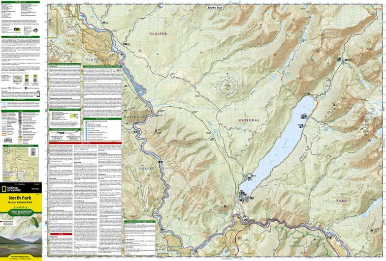
National Geographic North Fork: Glacier National Park Topographic Map
$11.95
The Trails Illustrated North Fork: Glacier National Park topographic map will benefit even the most experienced outdoors enthusiast exploring this pristine landscape blessed with very few amenities.
- Created in partnership with the National Park Service, U.S. Forest Service and others
- Expertly researched map features key areas of interest such as Bowman Lake, Lake McDonald Valley, Goat Haunt and Avalanche Creek
- Easy-to-read, yet highly detailed map shows comprehensive trail and road networks, along with designated trails for hiking, horseback riding, biking and more
- Clearly marked navigational aids with UTM coordinate grids, scale bar and full legend, essential for safely navigating the backcountry with GPS or compass
- Features key points of interest such as scenic views, campgrounds, trailheads, boat launches and picnic sites
- Color-coded boundaries for public lands including national parks, national forests, national monuments, ranger districts, wilderness areas, state parks and wildlife refuges
- 1:50,000 scale
- Printed in the USA on durable, lightweight, waterproof and tear-resistant material designed to withstand all weather conditions
- Folded dimensions: 4 x 7.5 in.; unfolded dimensions: 37.75 x 25.5 in.
- National Geographic Maps; copyright 2009
Made in USA.
View the National Geographic Trails Illustrated Product LineView all National Geographic Mountain West Maps| Best Use | Hiking |
|---|---|
| State / Province | Montana |
| Map Number | 313 |
Write a Review
Adding a review will require a valid email for verification
Location:Pittsburgh
Age:25–34
5 years ago
Great map
Yes , I recommend this product
Good detail. The map has been great for helping plan out our trip. Found the Pilot Frixion pens work great for writing on and being able to erase. Recommend getting all 3 to have the entire park (Many Glacier, Two Medicine, and North Fork)
Age:25–34

