
National Geographic Isle Royale National Park Topographic Map
This product is not available.
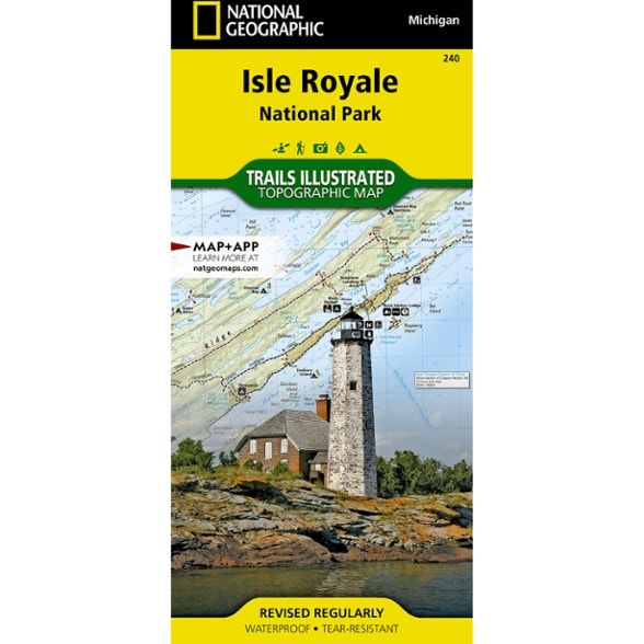
The Trails Illustrated Isle Royale National Park topographic map delivers unmatched detail and valuable information to assist you in your exploration of this remote wilderness.
Shop similar products- This expertly researched map features key areas of interest including Passage Island, Rock Harbor, Windigo and many shipwreck sites
- Created in partnership with local land management agencies
- Easy-to-read, yet highly detailed map shows comprehensive trail and road networks, along with designated trails for hiking, horseback riding, biking and more
- Clearly marked navigational aids with UTM coordinate grids, scale bar and full legend, essential for safely navigating the backcountry with GPS or compass
- Features key points of interest such as scenic views, campgrounds, trailheads, boat launches and picnic sites
- Color-coded boundaries for public lands including national parks, national forests, national monuments, ranger districts, wilderness areas, state parks and wildlife refuges
- 1:50,000 scale
- Printed in the USA on durable, lightweight, waterproof and tear-resistant material designed to withstand all weather conditions
- Folded dimensions: 4.25 x 9.25 in.; unfolded dimensions: 37.75 x 25.5 in.
- National Geographic Maps; copyright 2006
Made in USA.
View the National Geographic Trails Illustrated Product LineView all National Geographic Midwest Maps| Best Use | Hiking |
|---|---|
| State / Province | Michigan |
| Map Number | 240 |
Write a Review
Adding a review will require a valid email for verification
Mapped my way
The map survived a 43 mile backpacking trip through Isle Royale National Park with ease. All trails were clearly marked and up to date. Will use again during my next visit!
A must have for any Isle Royale Trip
Backpacked the Greenstone solo in May 2021. Rained pretty much nonstop for 3 days and this map held up great. On Isle Royale you give an itinerary to the rangers of where you plan to camp each night but are free to make changes along the way. Based on weather situations and how your body is holding up this is a great tool to adjust your route along the way.
Accurate map
Comprehensive map. Probably the most detailed and accurate of the Isle Royale maps i've seen.
Isle Royale Map
Great map and very durable/weatherproof. Can't wait to get to the island and put it to use!
Great for planning and day use
Isle Royale is such a treasure, this map was a must for planning routes. Great quality.
Great info
Will help a lot in planning future trips to the island