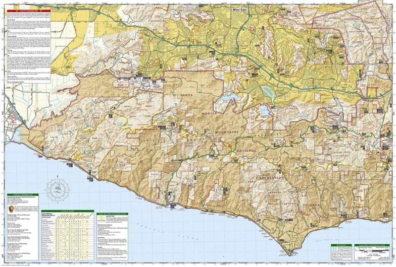
National Geographic Santa Monica Mountains National Recreation Area
This colorful Trails Illustrated folded map offers comprehensive coverage of the Santa Monica Mountains National Recreation Area in California.
- Provides valuable wilderness tips and Leave No Trace guidelines, along with updated trails, trailheads, points of interest, campgrounds and much more
- Printed on waterproof, tear-resistant material with a plastic coating that offers the durability needed for outdoor use
- Includes selected waypoints in both lat./lon. and UTM coordinate systems as well as GPS-compatible UTM grid lines for easy navigation
- Measures 9.25 x 4.25 in. folded and 37.75 x 25.5 in. fully opened; scale of 1:40,000
- National Geographic Maps; copyright 1998 (revised 2008)
Made in USA.
| Best Use | Hiking |
|---|---|
| State / Province | California |
| Map Number | 253 |
Write a Review
Adding a review will require a valid email for verification
Trail information out of date
I bought this to replace my old map with more up-to-date trail information. Although the map is dated 2023, it does not include changes made to the Backbone Trail in 2016! The Backbone Trail is the most important in the Santa Monica Mountains; I would expect it to be properly updated.

