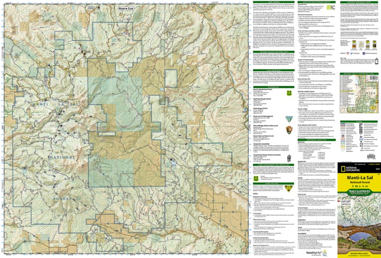
National Geographic Manti La Sal National Forest Trail Map
This National Geographic Trails Illustrated folded map offers comprehensive coverage of Utah's Manti La Sal National Forest area.
- Provides valuable wilderness tips and Leave No Trace guidelines, along with updated trails, trailheads, points of interest, campgrounds and much more
- Printed on waterproof, tear-resistant material with a plastic coating that offers the durability needed for outdoor use
- Includes selected waypoints in both lat./lon. and UTM coordinate systems as well as GPS-compatible UTM grid lines for easy navigation
- Measures 9.25 x 4.25 in. folded and 37.75 x 25.5 in. fully opened; scale of 1:90,000
- National Geographic Maps; copyright 1996
Made in USA.
| Best Use | Hiking |
|---|---|
| State / Province | Utah |
| Map Number | 703 |
Write a Review
Adding a review will require a valid email for verification

