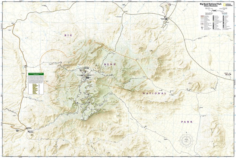
National Geographic Big Bend National Park Trail Map
This Trails Illustrated folded map offers comprehensive coverage of Big Bend National Park in Texas.
- Lists wilderness tips and Leave No Trace guidelines, along with trails, trailheads, points of interest, campgrounds, geologic history and much more
- Printed on waterproof, tear-resistant material with a plastic coating that offers supreme durability for your next outdoor adventure
- Includes selected waypoints in both Lat./Lon. and UTM coordinate systems as well as GPS-compatible UTM grid lines for easy navigation
- Measures 9.25 x 4.25 in. folded and 37.75 x 25.5 in. fully opened; scale of 1:133,333 and 1:24,000
- National Geographic Maps; copyright 1990 (revised 2002)
Made in USA.
View the National Geographic Trails Illustrated Product LineView all National Geographic Southwest Maps| Best Use | Hiking |
|---|---|
| State / Province | Texas |
| Map Number | 225 |
Write a Review
Adding a review will require a valid email for verification
Decent map with some inaccuracies
Overall a good and useable map with nice relief shading. However, some of the trails are not drawn properly. For example, this map shows the Emory Peak trail to be a relatively straight line with a stated length of 1.0 mile, when in reality the trail is full of switchbacks with a length of 1.46 miles.
So So quality
I'm a huge fan of National Geographic Trails Illustrated maps. I've heard of a few that aren't of very good quality (for the information on the map). This is my first that I feel is a sub-par map. Unlike most Nat Geo trail maps, most trails and roads on this map have no distances listed. Those that do have distances listed I found to be inaccurate. Also, my main annoyance, is the trails were often inaccurate as to heading. The map would show a trail heading in a straight line (say at 270 degrees), when in reality the real trail switchbacks widely and wildly up the entire side of a hill ranging from 180 degrees to 300 degrees. Given that all my other Nat Geo maps haven't been this inaccurate, I am unimpressed. If you aren't planning to actually use this with a compass, it'll help you follow well-marked trails if you need it. I'd buy a USGS topo map instead.
Spot on mapping
Cell mapping AND paid subscription failed but we were ready with the paper copy and used it for five days straight with spot on accuracy. Don't head out without a paper copy map.
hiking map
Been to Big Bend many times and have found this to be a very accurate, helpful map. Even bought several for my friends!
Loved the map. very detailed.
Loved the mad. Very detailed, will use it again when I go back.
Great Map to have, waterproof!
You could use an app but this is great to have. Old school here, reliable updated information to have on hand regardless power down cell, Garmin or any devices!
good but not great
Material and printing is excellent. It looks to be very durable, and there is a wealth of information included. But they use a non-standard map scale of 1:27,5000 which none of my compasses or map tools has a scale for. If you only use it for the pre marked trails then it probably isn’t an issue, but they could have put it standard 1:24000 and not lost any of the important details while making it much easier to use with most compasses that are marked with standard scales.
Nice Map!
This map is extensive, showing the basin area as well as the surrounding parts of the park.
Good Map
good map
Big Bend National Park Awaits!
Big Bend National Park is a fascinating place with unusual and unique geography on a monumental scale. I've not been back in a number of years and might revisit the park this next year, so REI had a nice map of the area that will be a big help in navigating to the various points of interest.

