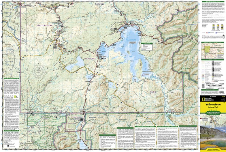
National Geographic Yellowstone National Park Trail Map
This product is not available.
This Trails Illustrated folded map offers comprehensive coverage of the unmatched splendor and unique natural features of Yellowstone National Park.
Shop similar products- Lists wilderness tips and Leave No Trace guidelines, along with trails, trailheads, points of interest, campgrounds, geologic history and much more
- Printed on waterproof, tear-resistant material with a plastic coating that offers supreme durability for your next outdoor adventure
- Includes selected waypoints in both lat./lon. and UTM coordinate systems as well as GPS-compatible UTM grid lines for easy navigation
- Measures 9.25 x 4.25 in. folded and 37.75 x 25.5 in. fully opened; scale of 1:126,720
- National Geographic Maps; copyright 1983 (revised 2012)
Made in USA.
View the National Geographic Trails Illustrated Product LineView all National Geographic Mountain West Maps| Best Use | Hiking |
|---|---|
| State / Province | Wyoming |
| Map Number | 201 |
Write a Review
Adding a review will require a valid email for verification
Made planning trip easier.
Great detail in the map. It was very useful . Helped daily planning
Great overview of Yellowstone
Bought this for help in planning an upcoming trip. Very helpful but wish it had some inserts with more detail for popular areas.
Great detail & practically bullet-proof!!
As we work on our "The Living Wyoming: A Photographic Tribute" series of hardcover books - the more detailed the maps we can acquire - the more interesting territories we can include on our trips, and therefore in the books. This map will be a very valuable tool for us!!
Getting the dets
Planning a trip through Yellowstone and it great to be able to get a start locally with the detailed map.
Another REAL Map
Even though I have quite a few Trails Illustrated maps, I didn't have this one and wanted it for my trip to Wyoming this summer. Excellent topo map; full color and covers the southern half of the park on one side and the northern side on the other.
Disappointed...
Not too helpful for hikes or general orientation. I'm hoping REI can stock better hiking/maps.
Makes the parks easier to plan
Must have for planning trips especially overnight back country trips. All the trails and the distances are broken up perfectly. Highly recommend for anyone visiting the national parks
Carry a map
So glad we purchased this map. It showed a few places that were not on the map the NP service gave us. It gives you perspective on distance that downloaded maps just don't do
Great for pre-planning
I buy these maps for ALL our park trips. It helps to pre-plan and also have a guide because so many places do not have reception(thankfully!).
highly recommend!
While there are a ton of maps in yellowstone, this one is more in depth and includes a lot more than the mini maps that are free.

