

Trail Tracks: Zion National Park Hiking Map
This product is not available.
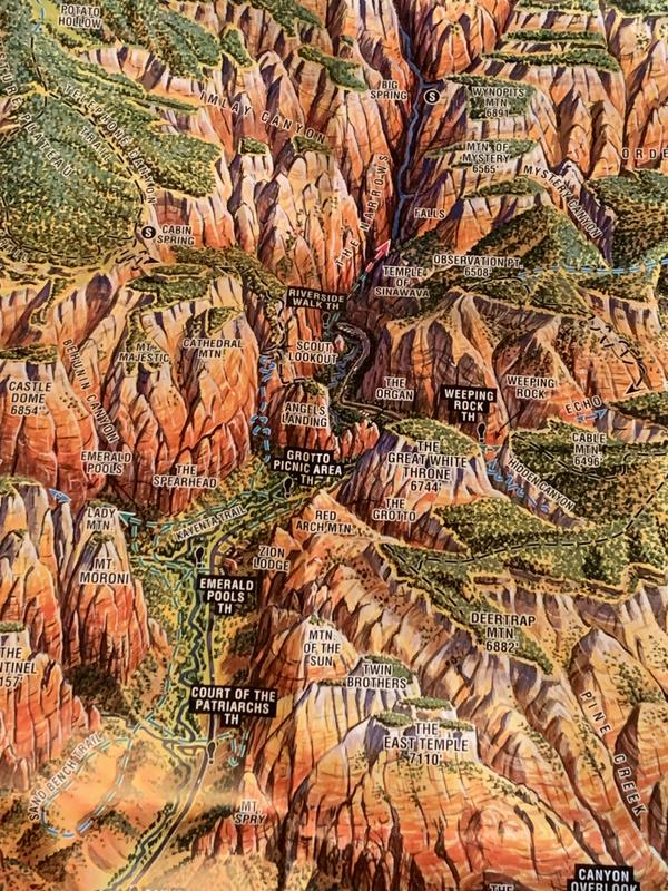
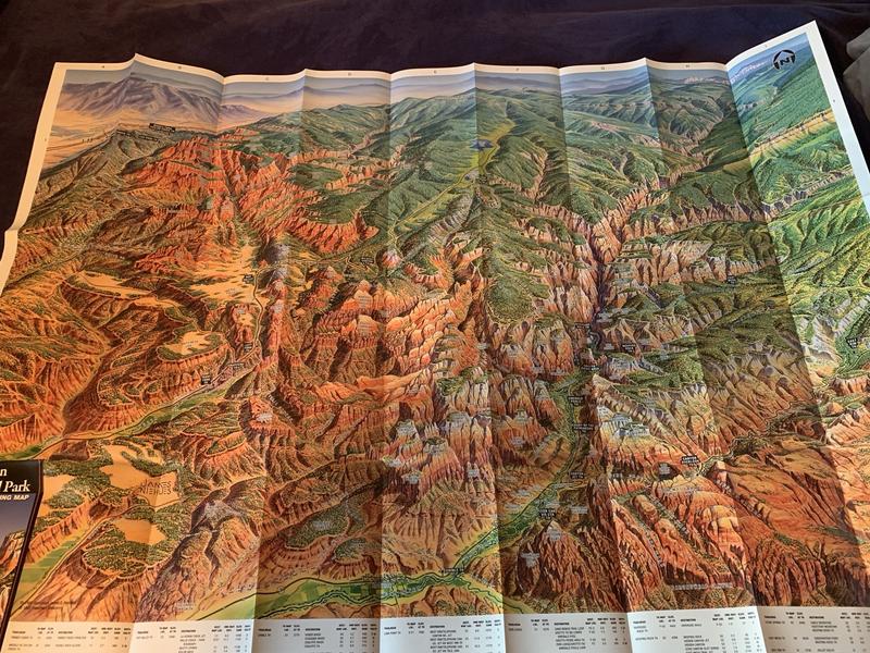
Four-color aerial perspective map for day hikers and backpackers alike gives trail ratings according to distance and elevation gain
Shop similar products- Two-sided color
- Fern Horn Endeavors
- Artist's rendition shows color-coded trails over plateaus and through canyons
- Reverse side gives detailed information on trails, safety, and permits
Imported.
| Best Use | Hiking |
|---|---|
| State / Province | Utah |
Write a Review
Adding a review will require a valid email for verification
Customer Images
Excellent Aerial Panoramic View of the Park
Like a ski trail maps this map provides you with a aerial panoramic view of the park on a single 2' by 3' page to quickly orient you to the area. Trails are marked green, blue, black so you can easily discern easy from difficult trails. You will need a topo map for trail navigation - but I use both as they both serve a distinct purpose - this one is the easiest to use to know where you want to go and expedites planning and traveling, it also lists features of each hike from waterfalls to wildflowers - I love it! (and the original artwork looks great on my wall)
Dont waste your time.
this is a map for your kids to look at while you look at a real map, incomplete trails most were not even on it that are in the area, that should be covered