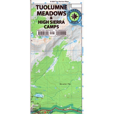
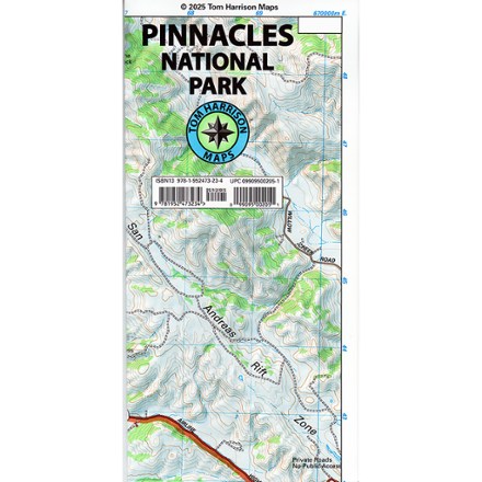
Tom Harrison Cartography  John Muir Trail Maps - Package of 13

This product is not available.

The John Muir Trail Maps - Package of 13 provides 6-color coverage of the John Muir and Pacific Crest Trails between Mt. Whitney and the Yosemite Valley.

Shop similar products

Features

  • 6-color topographic maps each measure 8.5 x 11 in.; scale of 1:63,360
  • 13 individual maps include ranger stations, campgrounds, pack stations and lodging
  • Tom Harrison Maps; copyright 2009

Made in USA.

View all Tom Harrison Cartography California Maps

Technical Specs

Best Use

Hiking

State / Province

California

Reviews
10 reviews with an average rating of 4.7 out of 5 stars

Ratings Snapshot

Product Rating

6 out of 7 (86%) reviewers recommend this product

Review this Product

Adding a review will require a valid email for verification

jous
Stanford, ca
Rated 2.0 out of 5 stars

RE: low ink

16 years ago

[...] I was contacted by Tom Harrison and he kindly offered to send me a replacement. However, I still suggest you make sure the intensity of the contour lines and shaded relief is adequate before you buy the 2008 edition. The previous editions I've used are just fine and I would recommend you buy those.

No, I do not recommend this product
Helpful?
bongo420
San Antonio, Texas
Rated 5.0 out of 5 stars

Well designed maps

8 years ago

These are quite detailed and well thought out. It was obvious that the designers had walked the trails. Lots of useful details, such as compass declination on each map. this was helpful as my topo maps were out of date. The declination was several degrees different from my older topo maps.

Yes , I recommend this product
Helpful?
atok514
Northridge, CA
Rated 5.0 out of 5 stars

Get It

16 years ago

Get this map pack. It's very specific to the trail. Get a compass. Don't rely just on GPS. (The map pack has GPS coordinates as well).

Yes , I recommend this product
Helpful?
Helvola
Los Angeles, CA, United States
Rated 5.0 out of 5 stars

Perfect JMT Map!

10 years ago

What else is there to write? It's exactly what we wanted for our hike.

Yes , I recommend this product
Helpful?
TamalpaisHiker
Oakland CA
Rated 5.0 out of 5 stars

Functional, Easy to Read, Clear Graphics

11 years ago

Bought the full pack of JMT maps. Spread over 13 maps. Like many, I've had a lifelong love of maps and these don't disappoint, especially knowing I'll be traveling the route in August, 2014. They are easy to read, with crisp topo/elevation lines.

Yes , I recommend this product
Helpful?
ZonaChris
Chandler, Az
Rated 5.0 out of 5 stars

Great Map Pack

14 years ago

Good quality, easy to read, lots of elevation markings, has not torn after one trip and lots of use.

Yes , I recommend this product
Helpful?
cbu
los angeles, ca
Rated 5.0 out of 5 stars

excellent

12 years ago

excellent. would be nice if they combined them into a booklike format as folding them is awkward.

Yes , I recommend this product
Helpful?
Dawn A
Monterey Peninsula, CA
Rated 5.0 out of 5 stars

Loved the layout

4 years ago

I appreciate the way these pages allowed me to navigate my days on the trail.

Age:45–54
Helpful?
Jeff
Rated 5.0 out of 5 stars
4 years ago
Helpful?
Anonymous
Rated 5.0 out of 5 stars
4 years ago
Helpful?

Questions & Answers

Loading Questions...