Custom Correct Buckhorn Wilderness Map
This product is not available.
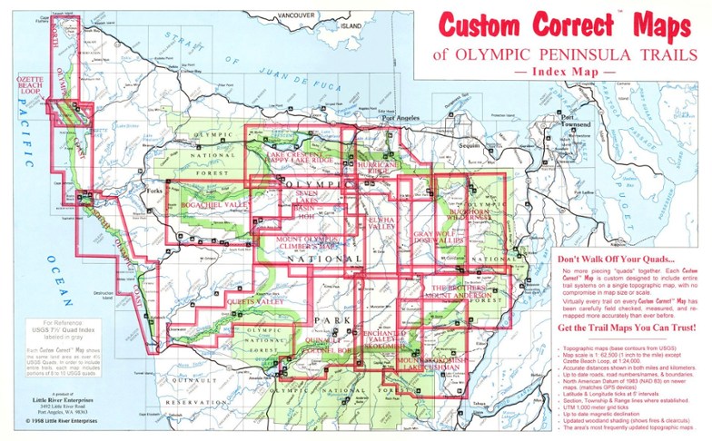
Topographic trail map of the Buckhorn Wilderness as well as connecting trails in the adjacent part of Olympic National Park
Shop similar products- Folds out to 22 1/2 x 14 1/2 inches
- Little River Enterprises; copyright 1999
- Black-and-white photos on back
- No more piecing quads together: this Custom Correct(R) Map includes entire trail systems with no compromise in map size or scale
- Virtually every trail has been carefully field checked, measured, and re-mapped more accurately than ever before
- Accurate distances in miles and kilometers, true woodland shading, and up-to-date roads, road numbers, names, and boundaries
Made in USA.
| Best Use | Hiking |
|---|---|
| State / Province | Washington |
Write a Review
Adding a review will require a valid email for verification

