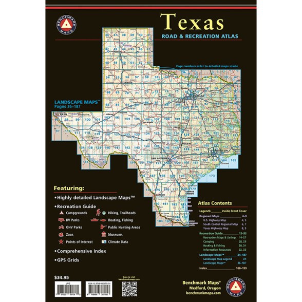
Benchmark Maps Texas Road & Recreation Atlas
Explore the expansive Lone Star State with this Benchmark Maps atlas. It features Landscape Maps™ that reveal back roads and landforms. And its Recreation Guide will help you plan an adventure.
- Field-checked for accuracy
- Map scale 1:253,400 (1 in. = 4 miles)
- Field-checked Landscape Maps™ reveal back roads and landforms with amazing realism and detail
- Landscape Maps clearly show how the state's vast network of roads and local recreation landmarks fit into the countryside
- A complete Recreation Guide provides regional maps and lists a variety of outdoor activities
- Arranged by category, the Recreation Guide is the ideal planning tool for adventures, from simple day trips to extended exploration
- Detailed and updated shaded relief illustrates current land use and vegetation land cover
- Exceptional and updated highway and back-road detail
- Displays public land boundaries and access points
Imported.
View all Benchmark Maps Southwest Maps| Best Use | Travel |
|---|---|
| State / Province | Texas |
| Folded Dimensions | 15 x 11 inches |
| Map Scale | 1:253,400 |
| Publisher | Benchmark |
| Copyright Year | 2025 |
Be the first to write a review!
Adding a review will require a valid email for verification

