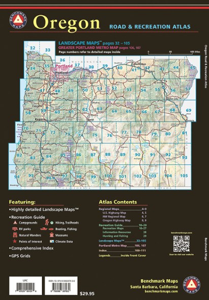
Benchmark Maps Oregon Road & Recreation Atlas - 11th Edition
Find your way around Oregon with this detailed atlas. It's checked for accuracy, and the Landscape Maps™ in the latest edition are dramatically improved, with better terrain clarity and detail.
- Benchmark maps are field checked for accuracy, and feature all of the important outdoor recreation categories and cultural interests
- Includes highways of the northwestern U.S. and Oregon (Highway 20, I-5, I-84)
- Recreation and public lands detail
- Highly detailed landscape maps
- Index of counties, cities, parks, mountains, lakes and rivers
- Detailed Portland metro map
- GPS grid
- Scale for recreation maps: 1:750,000; 1 in. = 11.8 miles
- Scale for landscape maps: 1:225,000; 1 in. = 3.6 miles
- Scale for metro maps: 1:125,000; 1 =2 miles.
Imported.
View all Benchmark Maps Washington and Oregon Maps| Best Use | Travel |
|---|---|
| State / Province | Oregon |
| Folded Dimensions | 11 x 15 inches |
| Map Scale | Recreation maps 1:750,000; landscape maps: 1:225,000; metro maps: 1:125,000 |
| Publisher | Benchmark |
| Copyright Year | 2024 |
Be the first to write a review!
Adding a review will require a valid email for verification

