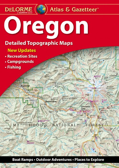

DeLorme Oregon Atlas and Gazetteer
$29.95
Members get an est. $2.99 in rewards
A great companion for recreation and trip planning, the DeLorme Oregon Atlas and Gazetteer covers the entire Beaver State, from the peak of Mount Hood to Crater Lake—the deepest lake in the U.S.
- Includes amazingly detailed and beautifully crafted, large-format paper maps that are perfect for sightseeing, exploring back roads, outdoor recreation and trip planning
- While available information varies by state, DeLorme maps generally provide information essential for any outdoor enthusiast
- Topographic maps have elevation contours, major highways and roads, dirt roads, trails and land-use data
- Includes info on points of interest, landmarks, state and national parks, campgrounds, boat launches, golf courses, historic sites, hunting zones, canoe trips and more
Imported.
View all DeLorme Washington and Oregon Maps| Best Use | Travel |
|---|---|
| State / Province | Oregon |
| Folded Dimensions | 15.5 x 11 x 1 inches |
| Unfolded Dimensions | 22 x 15.5 x 1 inches |
| Map Scale | 1:160,000 |
| Double Sided | Yes |
| Waterproof | Yes |
| Publisher | Garmin |
| Copyright Year | 2020 |
Write a Review
Adding a review will require a valid email for verification
1 year ago
Not too useful for me
I got this atlas in anticipation of a 2-week trip through Oregon this summer, with the idea of potentially moving there in the next couple of years. I wanted information on camping, hiking trails, etc. I have looked up some online, but I like to look at maps. I find it lacking in trails information, and is hard to read. I haven't decided yet if it's worth keeping.