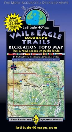
Latitude 40 Maps  Southwest Colorado Trails Recreation Topo Map - 7th Edition

This product is not available.

There's more than a lifetime of trails to explore in the San Juan mountains. Find them all with the Southwest Colorado Trails recreation topo map, which covers high desert landscapes and high peaks.

Shop similar products

Features

  • Map area spans 78 miles north to south from Ridgway to Durango and 100 miles east to west from Pagosa Springs to Cortez
  • One side features the eastern half; the flip side features the western half
  • Covers 7 wilderness areas, Mesa Verde National Park, the Alpine Loop Backcountry Byway connecting Silverton and Lake City, and 25 state wildlife areas
  • Highlights public access trails and routes for all trail users—motorized and nonmotorized
  • Includes all trailheads, recreation areas and campgrounds
  • Shows Colorado Trail segments 21–28, including San Luis Pass to Durango
  • 117 USGS 7.5' 1:24,000 quads; map scale is 1 in. = 2 miles; contour intervals are 100 ft.

Made in USA.

View all Latitude 40 Maps Colorado Maps

Technical Specs

Best Use

Mountain Biking

Hiking

State / Province

Colorado

Folded Dimensions

8 x 4.2 inches

Unfolded Dimensions

39 x 27 inches

Map Scale

1:125,000

Double Sided

Yes

Waterproof

Yes

Publisher

Latitude 40 Maps

Copyright Year

2021

Map Number

13A

Reviews
1 reviews with an average rating of 5.0 out of 5 stars

Loading Reviews...

Questions & Answers

Loading Questions...