
Cairn Cartographics Bob Marshall Wilderness Complex South Half Outdoor Recreation Map - 5th Edition
This product is not available.
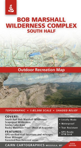
Covering the south half of the Bob Marshall Wilderness Complex, this Cairn Cartographics map features GPS data from the summer and fall of 2010, making for accurate trail locations and mileages.
Shop similar products- Covers the south half of The Bob Marshall Wilderness Complex, the entire Scapegoat Wilderness, Seeley Lake area and the Rocky Mountain Front (west of Augusta)
- This topographic map features shaded relief, 100 ft. contour intervals, forested/nonforested areas, GPS verified trail locations and mileages, and UTM and Lat/Long grids
- Printed on waterproof, tear-resistant plastic
- Made and researched locally in Missoula, Mont.
Made in USA.
View all Cairn Cartographics Mountain West Maps| Best Use | Hiking |
|---|---|
| State / Province | Montana |
| Folded Dimensions | 8.25 x 4.25 inches |
| Unfolded Dimensions | 39.1 x 26.75 inches |
| Map Scale | 1:85,000 |
| Double Sided | Yes |
| Waterproof | Yes |
| Publisher | Cairn Cartographics |
| Copyright Year | 2010 |
Be the first to write a review!
Adding a review will require a valid email for verification