Latitude 40 Maps Crested Butte, Aspen and Gunnison Trails Recreation Topo Map - 5th Edition
This product is not available.
A detailed planning reference for hikers, bikers and OHVers, the Latitude 40 Crested Butte, Aspen and Gunnison Trails recreation topo map covers areas in Colorado's Elk, West Elk and Sawatch ranges.
Shop similar products- Map area spans 118 miles north to south from Carbondale to Cochetopa Hills and 54 miles east to west from the St. Elmo to the Blue Mesa Reservoir
- One side features the northern area; the flip side features the southern area and trail/route descriptions
- Provides 79 trail descriptions for hiking, biking and OHV as well as their degree of difficulty, length in miles and elevation gain/loss
- Covers all or part of 9 Wilderness Areas, The Taylor Park OHV trail system and all the routes over ~90 mountain passes
- Tinted 3D elevation images show the region's spatial relationships and physical features
- Shows Colorado Trail segments 16–18, including Collegiate West Trail and Twin Lakes to Hancock Lake
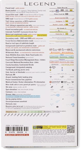
- Highlights public access trails and routes for all trail users—motorized and nonmotorized
- Includes all trailheads, recreation areas and campgrounds
- 88-USGS 7.5' 1:24,000 quads; map scale: 1 in. = 2 miles; contour intervals are 100 ft.
Made in USA.
View all Latitude 40 Maps Colorado Maps| Best Use | Mountain Biking Hiking |
|---|---|
| State / Province | Colorado |
| Folded Dimensions | 8 x 4.2 inches |
| Unfolded Dimensions | 39 x 27 inches |
| Map Scale | 1:125,000 |
| Double Sided | Yes |
| Waterproof | Yes |
| Publisher | Latitude 40 Maps |
| Copyright Year | 2021 |
| Map Number | 1A |
Be the first to write a review!
Adding a review will require a valid email for verification

