Skip to search results
loaded 2 results
Tom Harrison Cartography California Maps
(2 products)Products (2)
Sort: Best Match
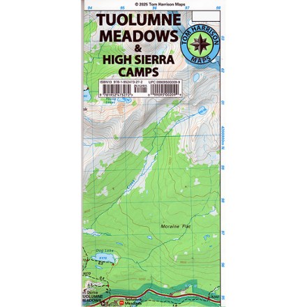
- Tom Harrison CartographyTuolumne Meadows & High Sierra Camps Map$12.95
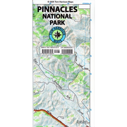
- Tom Harrison CartographyPinnacles National Park Map$12.95

Earn 15% in total rewards
Get 5% on all REI Co-op purchases plus the 10% Co-op Member Reward you earn on eligible full-price purchases.
Apply now
Terms apply
Sort: Best Match