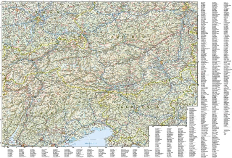
National Geographic Alps Adventure Travel Map
An invaluable tool for travelers, the National Geographic Alps Adventure travel map helps you explore the iconic mountain range that stretches across 8 European countries.
- Front side of the map covers the western portion of the region from Grenoble, France and Geneva, Switzerland south to Milan, Italy and east to the western border of Austria
- It also includes the countries of Liechtenstein and Monaco, and the cities of Torino and Zurich; the Mediterranean coast is shown from Cannes, France to Genoa, Italy
- The eastern side of the map covers Munich, Germany in the north to Vicenza, Italy in the south, and reaches to Trieste, Italy and the borders of Croatia and Hungary
- The cities of Vienna, Innsbruck, Treviso and Ljubljana are also included
- Expertly crafted map includes the locations of thousands of cities and towns with an index for easily locating them
- Includes a clearly marked road network complete with distances and designations for motorways, dual carriageways, trunk roads, main roads and minor roads
- Seasonal road closures are noted
- Clearly indicates national parks, botanical gardens, castles, churches, hot springs, archaeological sites, spas, museums and other points of interest
- Printed on durable synthetic paper, making the map waterproof, tear-resistant and tough; capable of withstanding the rigors of international travel
- Folded map measures 9.25 x 4.25 in.; opens to 37.5 x 25.5 in.
Made in USA.
View all National Geographic Europe Maps| Best Use | Travel |
|---|---|
| Folded Dimensions | 9.25 x 4.25 inches |
| Unfolded Dimensions | 37.75 x 25.5 inches |
| Map Scale | 1:600,000 |
| Double Sided | Yes |
| Waterproof | Yes |
| Publisher | National Geographic |
| Copyright Year | 2019 |
Write a Review
Adding a review will require a valid email for verification

