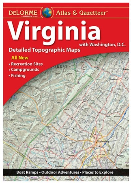

DeLorme Virginia Atlas and Gazetteer
This product is not available.
From Chesapeake Bay to the picturesque Blue Ridge Mountains, the DeLorme Virginia Atlas and Gazetteer covers all of Old Dominion in fine detail.
Shop similar products- These amazingly detailed, large-format paper maps are perfect for sightseeing, exploring back roads, outdoor recreation and trip planning
- While available information varies by state, DeLorme maps generally provide information essential for any outdoor enthusiast
- Includes info on points of interest, landmarks, state and national parks, campgrounds, boat launches, golf courses, historic sites, hunting zones, canoe trips and more
- Topographic maps have elevation contours, major highways and roads, dirt roads, trails and land-use data
Imported.
View all DeLorme Southeast Maps| Best Use | Travel |
|---|---|
| Folded Dimensions | 15.5 x 11 x 1 inches |
| Unfolded Dimensions | 22.3 x 15.5 x 1 inches |
| Map Scale | 1:200,000 |
| Double Sided | Yes |
| Publisher | Garmin |
| Copyright Year | 2018 |
| State / Province | Virginia |
Write a Review
Adding a review will require a valid email for verification
5 years ago