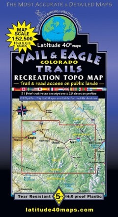
Latitude 40 Maps Aspen Snowmass Colorado Trails Map - 2nd Edition
This product is not available.
Navigate the trails and roads throughout the Aspen/Snowmass region with the Latitude 40 Aspen Snowmass CO Trails Map, a full-color, waterproof topographic map that includes 29 recommended hikes.
Shop similar products- Coverage includes the Four-Pass Loop Trail from Buckskin Pass to West Maroon Pass, Collegiate Peaks Wilderness and Maroon Bells Wilderness
- Waterproof, tear-resistant plastic map with shade-relief contours provides durability in any conditions
- Features descriptions for 29 recommended trails and routes
- Includes UTM & Latitude/Longitude grids, and GPS coordinates to trails and roads for easy navigation
- The Aspen Snowmass CO Trails map overlaps with the Crested Butte-Taylor Park Trails map (not included)
Made in USA.
View all Latitude 40 Maps Colorado MapsBest Use | Hiking |
---|---|
Folded Dimensions | 8.4 x 4.2 inches |
Unfolded Dimensions | 38.5 x 25.2 inches |
Map Scale | 1:50,000 |
Double Sided | Yes |
Waterproof | Yes |
Publisher | Latitude 40 Maps |
Copyright Year | 2016 |
State / Province | Colorado |