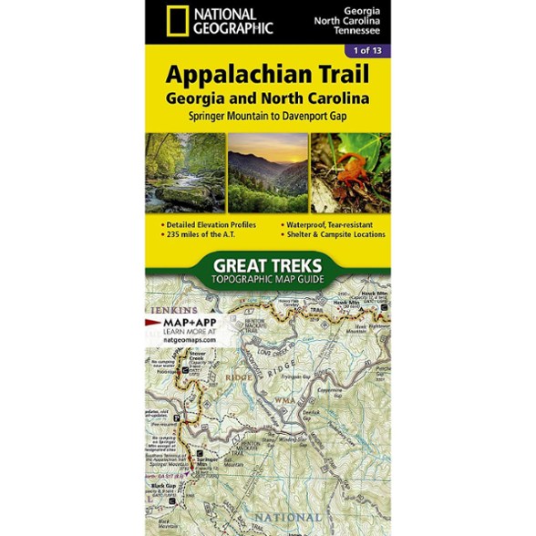
National Geographic Appalachian Trail: Georgia and North Carolina Topographic Map Guide
This product is not available.
Hike the Georgia and North Carolina sections of the Appalachian Trail. This National Geographic map covers the A.T. from Springer Mountain to Davenport Gap.
Shop similar products- Unique, user-friendly booklet format contains detailed topographic maps centered on the trail, page by page, mile by mile
- Helpful trail profiles show the distance between shelters, camping areas and trail access points
- Features resupply locations, key points of interest, safety guidelines, local contact information, area history and more
- Printed on durable, lightweight, waterproof and tear-resistant material designed to withstand all weather conditions
Made in USA.
View all National Geographic Southeast Maps| Best Use | Backpacking |
|---|---|
| State / Province | Georgia Tennessee North Carolina |
| Folded Dimensions | 9.25 x 4.25 inches |
| Map Scale | 1:63,360 |
| Publisher | National Geographic |
| Copyright Year | 2015 |
| Map Number | 1501 |
Write a Review
Adding a review will require a valid email for verification
Good addition to AWOL's The A.T. Guide
I use David "AWOL" Miller's The A.T. Guide while hiking, but this map is great to carry on the hike to easily see where you will be hiking, how the trail winds back and forth (sometimes you are hiking south, even though you maybe be northbound.) For both AWOL's map and this one, I copy the pages I will be hiking to carry with me. With this map, you can see towns and roads that are nearby as you are driving to the trail, in the event you need to get off the trail, and also if you need to see a way to access the trail temporarily. I bought one last year for the hike from Springer Mt. GA to Neels Gap, ~32 miles. The drought last year in GA was severe, and there was no water from Gooch Mt shelter, ~ mile 17 to the end of the hike. This map showed a road not easily seen on Google maps at Henry Gap ~mile 25, where my friend and I could easily reach the trail before we started hiking to stash 2 gallons of water behind a tree. We carried the water for 3 miles from Henry Gap to Woods Hole shelter ~mile 28. There were 2 other hikers there who had no water, so we were able to share. We saw before we started hiking that Ron Brown of Ron's Appalachian Trail Shuttle left water near this spot for hikers he was shuttling to and from the trail. That water was gone when we got to Henry Gap. Check out Ron's site on facebook for up to date info on trail conditions and the availability of water in streams and at shelters in GA.
Useful
The map was great as it helped me locate some backcountry creeks for a fishing trip.
Nice map...
Great Map! Well described AT route, with good detail in few pages.
Excellent AT Map
Excellent map. Will really help me prepare for the AT.

