

Benchmark Maps Vermont Recreation Map
$9.95
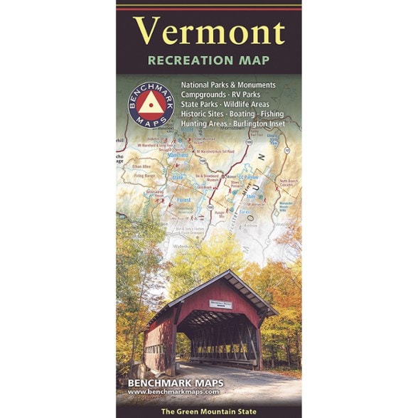
Plan a fall drive, find a campsite or cruise the shores of Lake Champlain with this map from Benchmark Maps. This folded map is perfect for planning and navigating the Green Mountain State.
- Map side covers all of Vermont with extensive highway road detail, points of interest, public land boundaries and elevation tints overlaid on beautiful shaded relief
- Reverse side features categorized recreation listings for parks, forests, campgrounds, fishing spots and more
- Also includes a detailed map of Burlington and its surroundings that shows even more roads and points of interest on the eastern edge of Lake Champlain
Imported.
View all Benchmark Maps New England and Mid-Atlantic Maps| Best Use | Travel |
|---|---|
| State / Province | Vermont |
| Folded Dimensions | 9 x 4.25 inches |
| Unfolded Dimensions | 38.25 x 27 inches |
| Map Scale | 1:190,080 |
| Double Sided | Yes |
| Publisher | Benchmark |
| Copyright Year | 2026 |
Be the first to write a review!
Adding a review will require a valid email for verification