

Benchmark Maps Massachusetts Recreation Map
$9.95
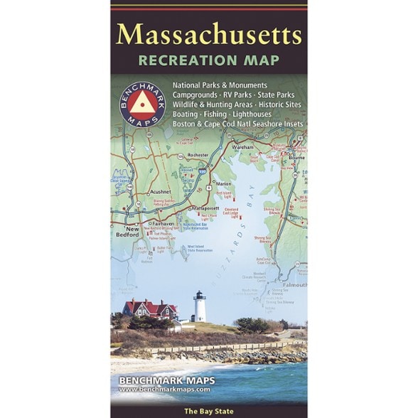
Plan your trip to the summit of Mount Greylock or the shores of Cape Cod with this map from Benchmark Maps. It illustrates the cities, roads and geography of Massachusetts in gorgeous detail.
- Map side covers the entire state with extensive road detail, points of interest, public land boundaries and elevation tints overlaid on beautiful shaded relief
- Reverse side features categorized recreation listings for parks, forests, campgrounds, historic sites, museums and more
- Also includes a detailed map of the Cape Cod National Seashore and its surroundings
Imported.
View all Benchmark Maps New England and Mid-Atlantic Maps| Best Use | Travel |
|---|---|
| State / Province | Massachusetts |
| Folded Dimensions | 9 x 4.25 inches |
| Unfolded Dimensions | 38.25 x 27 inches |
| Map Scale | 1:190,080 |
| Double Sided | Yes |
| Publisher | Benchmark |
| Copyright Year | 2026 |
Be the first to write a review!
Adding a review will require a valid email for verification