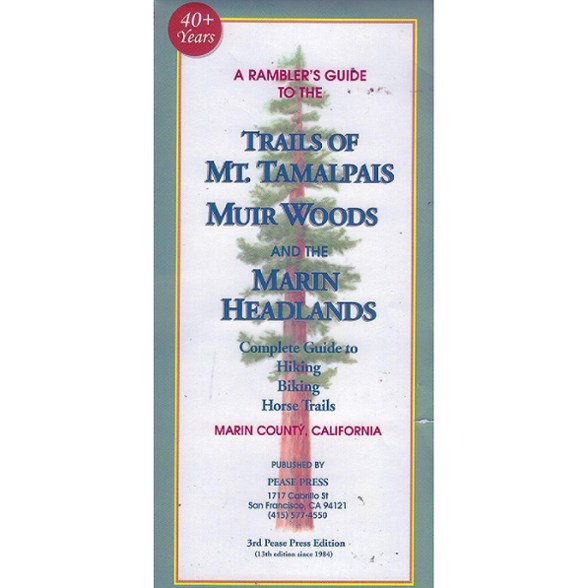

Pease Press Trails of Mt. Tamalpais - 3rd Edition
$8.95
First published in 1984 by Jerry Olmsted, this great map celebrates 40+ years in print. It shows from the Golden Gate to the Mt. Tamalpais Watershed and San Geronimo Valley.
- Features updated trails with wheel-and-compass or GPS data
- Shows bike access in purple
- Updated with public transit changes
- Scale of 1-1/4 inches = 1 mile; the perfect balance of detail and the big picture view
- Jerry Olmsted included a history of 99 Tamalpais place names gathered by the Mt. Tamalpais History Project
- 3rd Pease Press edition; 13th edition since 1984
Made in USA.
View all Pease Press California Maps| Best Use | Hiking |
|---|---|
| State / Province | California |
| Folded Dimensions | 8.75 x 4 inches |
| Unfolded Dimensions | 27.65 x 36.25 inches |
| Map Scale | 1:29,770 |
| Publisher | Pease Press |
| Copyright Year | 2026 |
Be the first to write a review!
Adding a review will require a valid email for verification