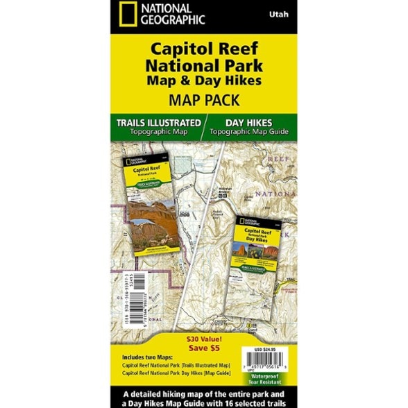

National Geographic Capitol Reef National Park Map & Day Hikes Map Pack
$24.95
Members get an est. $2.49 in rewards
Explore south-central Utah with this National Geographic map pack. It comes with a detailed map of Capitol Reef National Park and a map guide. You're sure to find a hike that's right for you.
- This Map Pack includes the Capitol Reef National Park Trails Illustrated Map and the Capitol Reef National Park Day Hikes Map Guide
- Capitol Reef National Park is a hidden gem located in the Waterpocket Fold, a wrinkle in the earth that extends nearly 100 miles through south-central Utah's red rock country
- Created in partnership with local land management agencies, this expertly researched map features the entire park
- It has adjacent areas of interest including Anasazi State Park and portions of Fishlake National Forest, Grand Staircase-Escalante National Monument and Dixie National Forest
- The Capitol Reef National Park Day Hikes Topographic Map Guide includes 16 diverse hikes for all hiking enthusiasts
- Hikes range in difficulty and distance to help hikers select the best trail for their timing, abilities and location within the parks
- Each hike has a detailed map, a trail profile visualizing the changes in elevation and a short summary of the interesting features encountered along the trip
- Every Trails Illustrated map is printed on "Backcountry Tough" waterproof, tear-resistant paper
- A full UTM grid is printed on the map to aid with GPS navigation
- Every map purchase helps support the National Geographic Society, an impact-driven nonprofit organization with global reach
- National Geographic Society uses the power of science, exploration, education and storytelling to illuminate and protect the wonder of our world
Made in USA.
View all National Geographic Mountain West Maps| Best Use | Hiking |
|---|---|
| State / Province | Utah |
| Folded Dimensions | 9.25 x 4.25 x 0.5 inches |
| Unfolded Dimensions | 37.75 x 25.5 inches |
| Map Scale | 1:31,680 and 1:75,000 |
| Double Sided | Yes |
| Waterproof | Yes |
| Publisher | National Geographic |
| Copyright Year | 2025 |
| Map Number | 1322B |
Be the first to write a review!
Adding a review will require a valid email for verification