

Benchmark Maps Idaho Recreation Map
$9.95
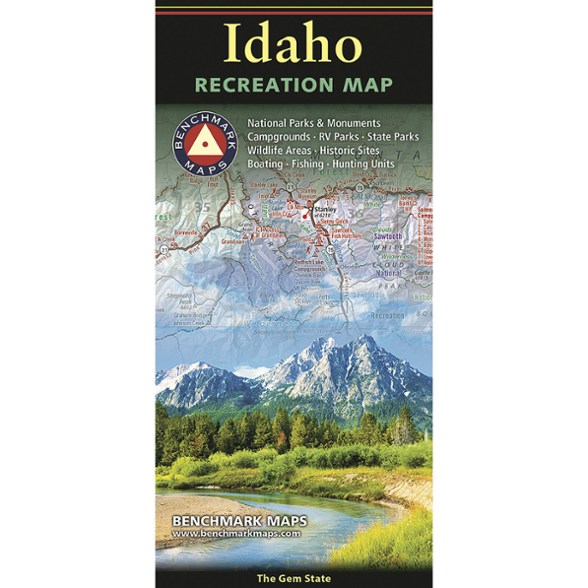
Level up your exploration of the Gem State with this recreation map from Benchmark Maps. It features a full state map of Idaho with information on public lands, campgrounds, parks and more.
- A folded map version of the Recreation Guide pages found in the Benchmark Maps Idaho Road & Recreation Atlas
- One side provides a full state map that features public lands, extensive highway detail, point-to-point mileages, recreation attractions, campgrounds, parks and wildlife areas
- This side also includes fishing access points, hunting units (GMU) and inset area maps for Lake Coeur d'Alene, Greater Boise, Island Park and Ketchum-Sun Valley
- Reverse side includes a map of hunting zones and units and categorized recreation listings with helpful descriptions, current contact information and map grid references
Imported.
View all Benchmark Maps Mountain West Maps| Best Use | Travel |
|---|---|
| State / Province | Idaho |
| Folded Dimensions | 4.25 x 9 x 0.5 inches |
| Unfolded Dimensions | 38 x 27 inches |
| Map Scale | 1:833,333 |
| Double Sided | Yes |
| Publisher | Benchmark |
| Copyright Year | 2026 |
Be the first to write a review!
Adding a review will require a valid email for verification