Green Goat Maps Yosemite National Park Map - 1st Edition
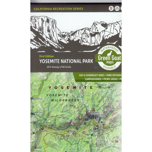
Explore Yosemite National Park with this map from Green Goat Maps. It clearly shows you where to hike, camp and have fun. And the waterproof, tear-resistant material holds up through many adventures.
- GPS-friendy UTM grids
- Includes all the day hikes and overnight trails in the park, plus access roads, facilities, campgrounds, play areas and places that are fun to visit
- Made with an ecological focus, this map highlights invasive species prevention and Leave No Trace principles
- Printed on waterproof, tear-resistant material
- Green Goat Maps gives 1% back to nonprofits through 1% for the Planet
- Printed in support of the California Council of Land Trusts (CCLT)
- CCLT works to conserve California's extraordinary land and water resources through a network of land trusts with one cohesive voice across urban and rural communities
Made in USA.
View all Green Goat Maps California Maps| Best Use | Hiking |
|---|---|
| State / Province | California |
| Folded Dimensions | 6 x 4 x 0.8 inches |
| Unfolded Dimensions | 24 x 18 inches |
| Map Scale | 1:126,720 (1 in. = 2 mi) |
| Double Sided | Yes |
| Waterproof | Yes |
| Publisher | Green Goat Maps |
Be the first to write a review!
Adding a review will require a valid email for verification

