

National Geographic Appalachian Trail: New Hampshire Topographic Map Guide
$14.95
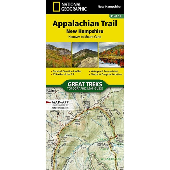
Hike the New Hampshire section of the Appalachian Trail. This National Geographic map covers the A.T. from Hanover to Mount Carlo.
- Unique, user-friendly booklet format contains detailed topographic maps centered on the trail, page by page, mile by mile
- Helpful trail profiles show the distance between shelters, camping areas and trail access points
- Features resupply locations, key points of interest, safety guidelines, local contact information, area history and more
- Printed on durable, lightweight, waterproof and tear-resistant material designed to withstand all weather conditions
Made in USA.
View all National Geographic New England and Mid-Atlantic Maps| Best Use | Backpacking |
|---|---|
| State / Province | New Hampshire |
| Folded Dimensions | 9.25 x 4.25 inches |
| Map Scale | 1:63,360 |
| Publisher | National Geographic |
| Copyright Year | 2015 |
| Map Number | 1511 |
Write a Review
Adding a review will require a valid email for verification
Location:Hudson Valley
Age:45–54
2 years ago
Great planning maps
Yes , I recommend this product
NatGeo makes good quality maps. We section hike the AT and these maps have been important aspect of our planning - distances, terrain, road crossings, shelters, water sources, etc. These maps are not the best for in the field. I prefer the digital NatGeo maps on Avenza while backpacking (along with the ATC physical map).
Age:45–54