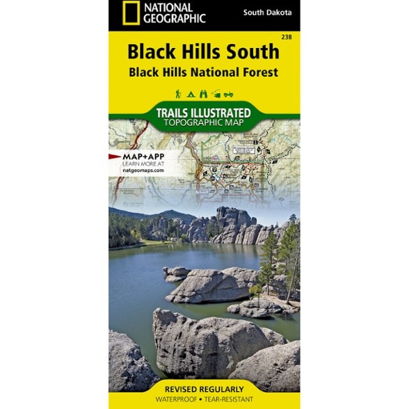


National Geographic Black Hills Southeast Topographic Map
$14.95
The detailed Trails Illustrated Black Hills Southeast topographic map offers comprehensive coverage of the southeast Black Hills in South Dakota.
- Expertly researched in cooperation with the U.S. Forest Service, National Park Service and others, this map is an essential companion for exploring this area of South Dakota
- Provides valuable wilderness tips and Leave No Trace guidelines, along with updated trails, trailheads, points of interest, campgrounds and more
- Covers the south part of Black Hills National Forest, Wind Cave National Park, Custer State Park, Norbeck Wildlife Preserve, Jewel Cave, Black Elk Wilderness and Mt. Rushmore
- Also includes background information about each of these areas, rules and regulations, safety tips and contact information
- Easy-to-read, yet highly detailed map shows comprehensive trail and road networks, along with designated trails for hiking, horseback riding, biking and more
- Clearly marked navigational aids with UTM coordinate grids, scale bar and full legend, essential for safely navigating the backcountry with GPS or compass
- Features key points of interest such as scenic views, campgrounds, trailheads, boat launches and picnic sites
- Color-coded boundaries for public lands including national parks, national forests, national monuments, ranger districts, wilderness areas, state parks and wildlife refuges
- 1:70,000 scale
- Printed in the U.S.A. on a durable, lightweight, waterproof, tear-resistant material designed to withstand all weather conditions
- Folded dimensions: 4.25 x 9.25 in.; unfolded dimensions: 37.75 x 25.5 in.
- National Geographic Maps; copyright 2014
Made in USA.
View the National Geographic Trails Illustrated Product LineView all National Geographic Mountain West Maps| Best Use | Hiking |
|---|---|
| State / Province | South Dakota |
| Map Number | 238 |
Write a Review
Adding a review will require a valid email for verification
Location:Claremore, OK
Age:65–74
5 years ago
Discover the Black Hills
Yes , I recommend this product
Just what I needed for my visit to the Black Hills, Mount Rushmore, Custer State Park and Wind Cave National Park.
Age:65–74