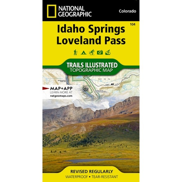


National Geographic Idaho Springs/Georgetown/Loveland Pass Trail Map
This Trails Illustrated map will help you plan trips and explore the area in and around Colorado's Idaho Springs, Georgetown and Loveland Pass.
- Printed on durable, tear-resistant, waterproof material, this map can go virtually anywhere you go
- Covers multiple USGS quadrangles with the convenience of a single map
- Based on exact reproductions of USGS topo map information—updated, customized and enhanced to accurately detail the unique features of the area
- Highlights hiking trails, cross-country ski trails, bike trails, fishing holes, boat ramps, campgrounds and many other subjects of interest
- Measures 7.5. x 4 in. folded and 32 x 22 in. fully opened; scale of 1:40,680
- National Geographic Maps; copyright 1982 (revised 2003)
Made in USA.
View the National Geographic Trails Illustrated Product LineView all National Geographic Mountain West Maps| Best Use | Hiking |
|---|---|
| State / Province | Idaho |
| Map Number | 104 |
Write a Review
Adding a review will require a valid email for verification
Excellent detailed map
The National Geographic Trails Illustrated maps are outstanding. They are invaluable when heading into the backcountry, particularly when you are connecting to trails (and bushwacking between trails), backpacking, or are on less defined trails (or have snow to hike over). I feel much more confident heading into the backcountry with this map in my pack and highly recommend it to anyone who requires the level of detail and knowledge needed to be safe and informed.
Good product
Good series. I have been collecting many, and they are well-made, durable, informative and affordable.