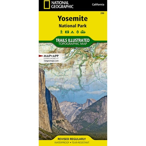


National Geographic Yosemite National Park Trail Map
This beautifully rendered Trails Illustrated map offers colorful, comprehensive coverage of California's Yosemite National Park.
- Provides valuable wilderness tips and Leave No Trace guidelines, along with updated trails, trailheads, points of interest, campgrounds and much more
- Printed on waterproof, tear-resistant material with a plastic coating that offers the durability needed for outdoor use
- Includes selected waypoints in both lat./lon. and UTM coordinate systems as well as GPS-compatible UTM grid lines for easy navigation
- Measures 9.25 x 4.25 in. folded and 37.75 x 25.5 in. fully opened; scale of 1:80,000
- National Geographic Maps; copyright 1987, revised 2005
Made in USA.
View the National Geographic Trails Illustrated Product LineView all National Geographic California Maps| Best Use | Hiking |
|---|---|
| State / Province | California |
| Map Number | 206 |
Write a Review
Adding a review will require a valid email for verification
Most Helpful Favorable Review
Most Helpful Critical Review
You have to have a hard copy map...
I know there are all sorts of maps on your phone you can use for hiking. But what if your phone breaks? Or you drop it? You have to have a hard copy Map. This is a passable map for that reason. It is waterproof, tear resistant, and almost has a workable scale. The same company does make four maps covering Yosemite at a larger scale. That might be a better way to go. I think the scale of this map is too small.
An overall map of Yosemite National Park
If you need a more detailed map of Yosemite Valley, then purchase the "Yosemite SW," which includes Yosemite Valley and Wawona. https://www.rei.com/product/776035/trails-illustrated-yosemite-national-park-sw-yosemite-valleywawona
Great Maps
When I set out to conquer Half Dome I wanted to make sure that I had a great map as I had never hiked this trail before. This is an excellent map for this. It is made of a material that will not be impacted by moisture. I own a number of these for strategic places that I often hike at.
Must Have for Yosemite
We were so glad to have this map on our trip through Yosemite. It's more recently updated and has much more detail on it than the maps you'll find online or the ones they give you at the park. Makes navigation in the park much easier.
Another beautiful map from Nat Geo
Nat geo’s long history of creating aesthetically pleasing maps is in full effect with their Yosemite offering. It has been tough enough for backpacking duty but wouldn’t be out of place in a frame. These have become my go to after purchasing the Chuscash State park offering earlier this year.
Nat Geo - top notch maps
National Geo always provides a top notch map. They are beautiful to look at but also very functional. We use them while travelling and will fold them in all sorts of ways and they never tear. If I had to pick I'd always choose these maps over other ones available.
Durable and Dependable
I have many maps from NatGeo and this one is consistent with the others in quality and detail. I don’t go into the backcountry without a map and compass.
GREAT MAP
Product is terrific, but very pricey at $17. Didn't know the price 'till I checked out.
Great!
Waterproof feature was very nice, definitely helpful driving through the park!
Good Informative map
Map had the detail I was looking for and information I needed to plan my trip