
National Geographic TOPO! Sequoia Kings Canyon Area
This product is not available.
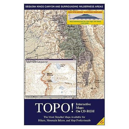
Own a complete set of full-color USGS topo maps for the Sequoia/Kings Canyon National Parks and surrounding Wilderness Areas on a convenient CD-ROM!
Shop similar products- TOPO!'s traveling tool allows you to zoom in, zoom out and scroll the map in any direction
- Add routes, symbols and text to customize your map; attach note boxes to the objects you place on the map
- TOPO! determines the exact latitude/longitude and elevation of any point on the map, making it ideal for GPS users
- Print and export maps directly from TOPO! in color, grayscale or black and white
Made in USA.
Provides coverage for a seamless area covering all of Sequoia National Park, Kings Canyon National Park, and the John Muir, Dinkey Lakes, Jennie Lakes, Golden Trout, and Dome Land Wilderness Areas Instant elevation profiles allow you to visualize elevation gain--no more counting contours! Compass tool lets you measure precise distances and directions. Create a map of exactly the region you need by enlarging/reducing and cropping. TOPO! provides seamless travel on mosaiced maps without borders or disruptions. Jump instantly to the location of your choice by searching for places by name, feature type (lake, trail, summit), or latitude and longitude. Requires: PC Compatible running Windows 3.1, 95 or NT, 4 MB RAM minimum, 1 MB hard drive space, 8 bit color monitor, 2x CD-ROM drive (or faster).
View all National Geographic GPS Accessories| Best Use | Hiking |
|---|
Be the first to write a review!
Adding a review will require a valid email for verification