

National Geographic Appalachian Trail Overview and Planning Map
$14.95
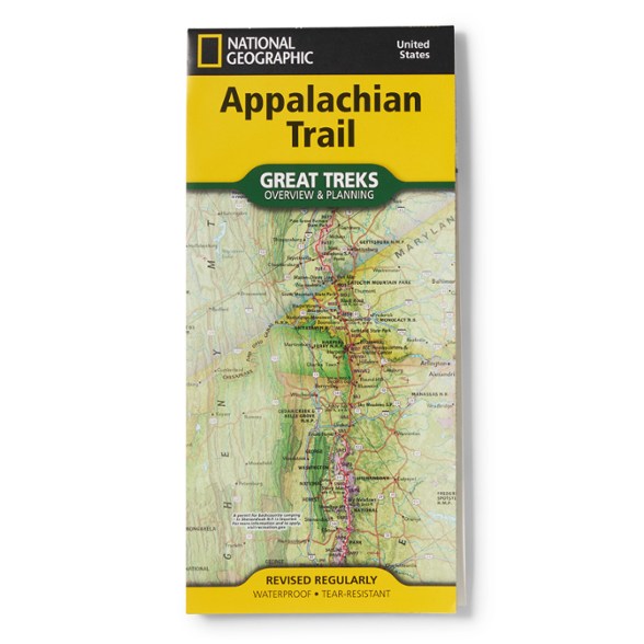
Make planning easier with the National Geographic Appalachian Trail Overview and Planning Map. It displays the entire length of the A.T. and is packed with the details you need to plan your hike.
- Displays the entire length of the A.T., highlighting nearby towns, roads, section markers, and key waypoints
- Trail chart provides cumulative mileage from both termini, section distances, average slope, elevation gain and loss, and the highest and lowest points along each segment
- Also includes practical details such as shelters, parking areas, river crossings, campsites and nearby airports—everything you need to plan with confidence
- A convenient resupply table lists services and food options along the trail, making it simple to organize multi-day, weeklong or full thru-hike adventures
- This Great Treks map is printed on "Backcountry Tough" waterproof, tear-resistant paper
- Map scale is 1:1,050,000; 1 in. equals 16.6 mi.
From the publisher:
Stretching nearly 2,200 miles from Springer Mountain in Georgia to Katahdin in Maine, the legendary Appalachian Trail—known simply as the A.T.—winds through 14 states and some of America's most breathtaking landscapes. Taking on this trail, whether for a weekend adventure or a life-changing thru-hike, is an unforgettable experience that rewards careful planning and preparation.
Every map purchase helps support the National Geographic Society, an impact driven, nonprofit organization with global reach that uses the power of science, exploration, education, and storytelling to illuminate and protect the wonder of our world.
View the National Geographic Trails Illustrated Product LineView all National Geographic New England and Mid-Atlantic MapsStretching nearly 2,200 miles from Springer Mountain in Georgia to Katahdin in Maine, the legendary Appalachian Trail—known simply as the A.T.—winds through 14 states and some of America's most breathtaking landscapes. Taking on this trail, whether for a weekend adventure or a life-changing thru-hike, is an unforgettable experience that rewards careful planning and preparation.
Every map purchase helps support the National Geographic Society, an impact driven, nonprofit organization with global reach that uses the power of science, exploration, education, and storytelling to illuminate and protect the wonder of our world.
| Best Use | Backpacking |
|---|---|
| State / Province | Georgia North Carolina Tennessee Virginia West Virginia Maryland Pennsylvania New Jersey New York Connecticut Massachusetts Vermont New Hampshire Maine |
| Folded Dimensions | 9.25 x 4.25 inches |
| Unfolded Dimensions | 37.75 x 25.5 inches |
| Map Scale | 1:1,050,000 |
| Double Sided | Yes |
| Waterproof | Yes |
| Publisher | National Geographic |
| Copyright Year | 2025 |
| Map Number | 5501 |
Be the first to write a review!
Adding a review will require a valid email for verification