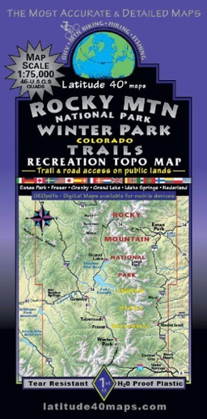

Latitude 40 Maps Rocky Mountain National Park/Winter Park Trails Recreation Topo Map
This product is not available.
See the beauty of Colorado's high country and plan your trip to the state's most visited national park with the Latitude 40 Maps Rocky Mountain National Park/Winter Park Trails recreation topo map.
Shop similar products- Detailed map covers the area from Estes Park to Hot Sulphur Springs—49 miles east to west—and from Colorado State Forest State Park to I-70—60 miles north to south
- Covers all of Rocky Mountain National Park, Indian Peaks, James Peak, Vasquez, Byers Peak, Comanche Peak, Neota and Never Summer Wilderness areas
- Includes the Continental Divide Trail from Troublesome Pass to Jones Pass
- Trails are coded for all recreation types (nonmotorized and motorized) on public-access trails and roads
- Difficulty ratings and mileages between junctions
- 2-sided, full-color map with north side on one half and southern side on reverse
- 46 USGS 7.5' quads
- Map scale: 1 in. = 1.2 miles (1:75,000)
- Contour interval: 80 ft.
Made in USA.
View all Latitude 40 Maps Colorado Maps| Best Use | Hiking |
|---|---|
| State / Province | Colorado |
| Folded Dimensions | 8 x 4.2 inches |
| Unfolded Dimensions | 39 x 27 inches |
| Map Scale | 1:75,000 |
| Double Sided | Yes |
| Waterproof | Yes |
| Publisher | Latitude 40 Maps |
| Copyright Year | 2023 |
| Map Number | 7A |
Be the first to write a review!
Adding a review will require a valid email for verification