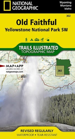

National Geographic Yellowstone National Park SW: Old Faithful Topographic Map
This product is not available.
Offering comprehensive coverage for outdoor enthusiasts, the Trails Illustrated Yellowstone National Park SW: Old Faithful topographic map provides excellent detail of the park's southwestern region.
Shop similar products- Expertly researched and created in partnership with local land management agencies
- Key points include Old Faithful geyser area, West Thumb of Yellowstone Lake, South Entrance Station, West Yellowstone, Heart Lake and John D. Rockefeller Jr. Memorial Parkway
- Precisely mapped trails with mileage markers and and marked Bear Management Zones let you get off the beaten path and back again
- To aid navigation, the map includes contour lines, elevations, summits, passes and many lakes
- Marked recreation features include visitor centers, campgrounds, trailheads, horse rentals, boat ramps and interpretive trails
- Every Trails Illustrated map is printed on "Backcountry Tough" waterproof, tear-resistant paper
Made in USA.
Other features found on this map include: Craig Pass, Gallatin National Forest, Grand Teton National Park, Heart Lake, Jedediah Smith Wilderness, Lewis Lake, Mount Sheridan, Pitchstone Plateau, Red Mountains, Shoshone Lake, Targhee National Forest, Teton National Forest and Teton Wilderness.
View the National Geographic Trails Illustrated Product LineView all National Geographic Mountain West Maps| Best Use | Hiking |
|---|---|
| State / Province | Wyoming Montana Idaho |
| Folded Dimensions | 7.5 x 4 inches |
| Unfolded Dimensions | 37.75 x 25.5 inches |
| Map Scale | 1:70,000 |
| Double Sided | Yes |
| Waterproof | Yes |
| Publisher | National Geographic |
| Copyright Year | 2019 |
| Map Number | 302 |
Be the first to write a review!
Adding a review will require a valid email for verification