Skip to search results
loaded 8 results
DeLorme Midwest Maps
(8 products)Products (8)
Sort: Best Match
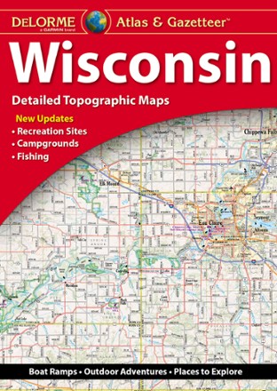
- DeLormeWisconsin Atlas and Gazetteer$29.95
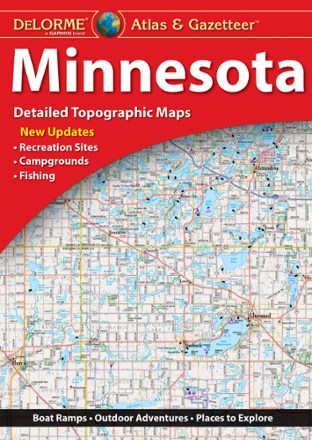
- DeLormeMinnesota Atlas and Gazetteer$29.95
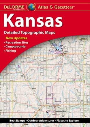
- DeLormeKansas Atlas and Gazetteer$29.95
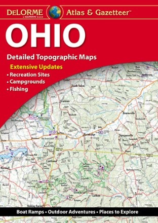
- DeLormeOhio Atlas and Gazetteer - 2022 Edition$29.95
- DeLormeNebraska Atlas and Gazetteer$24.95
- DeLormeIllinois Atlas and Gazetteer$29.95
- DeLormeIowa Atlas and Gazetteer$29.95
- DeLormeIndiana Atlas and Gazetteer$29.95
Sort: Best Match
