Skip to search results
loaded 6 results
Purple Lizard Maps New England and Mid-Atlantic Maps
(6 products)Products (6)

Sort: Best Match
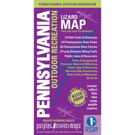
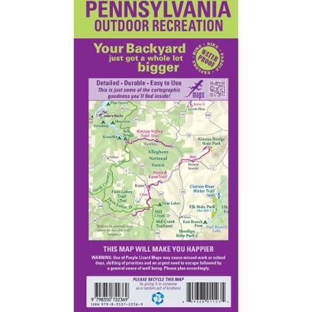
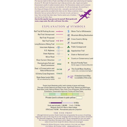
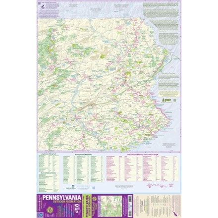
- Purple Lizard MapsPennsylvania Outdoor Recreation Map$20.00
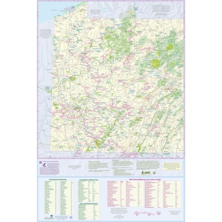
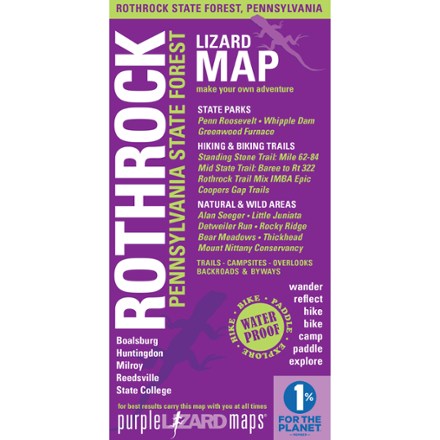
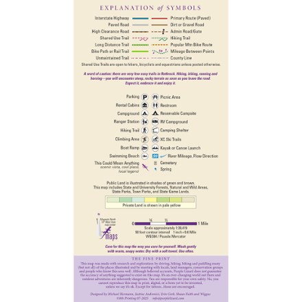
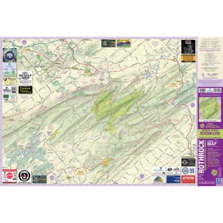
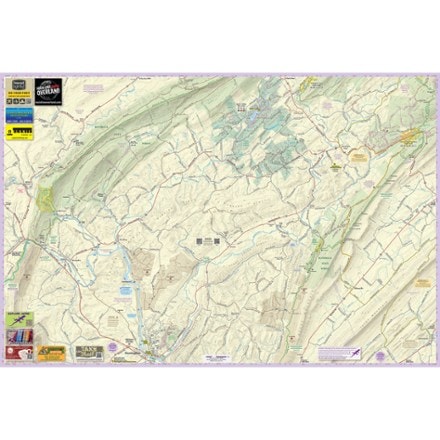
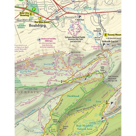
- Purple Lizard MapsRothrock Pennsylvania State Forest Map - 8th Edition$20.00
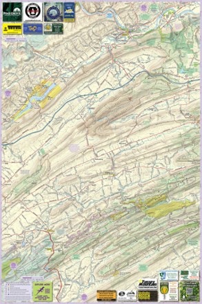
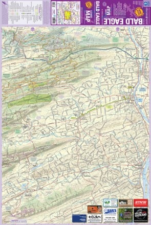
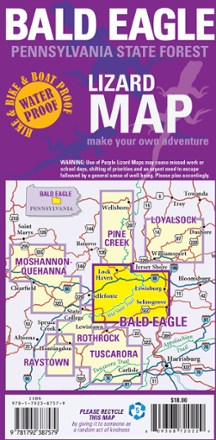
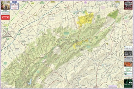
- Purple Lizard MapsBald Eagle Pennsylvania State Forest Map - 4th Edition$18.00
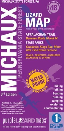
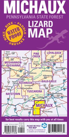
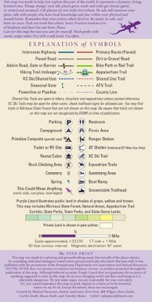
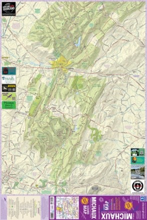
- Purple Lizard MapsMichaux Pennsylvania State Parks & Forests Map - 3rd Edition$17.95
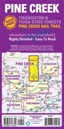
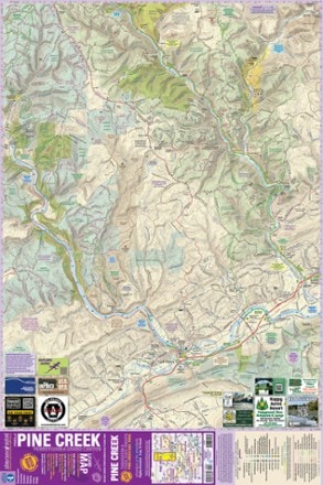
- Purple Lizard MapsPine Creek Pennsylvania Grand Canyon Map$18.00
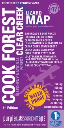
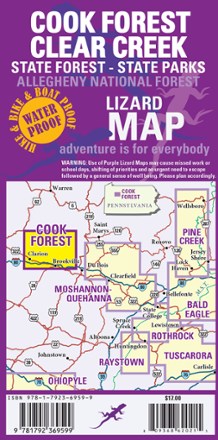
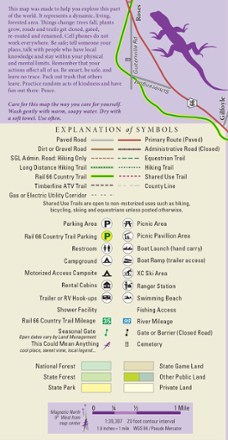
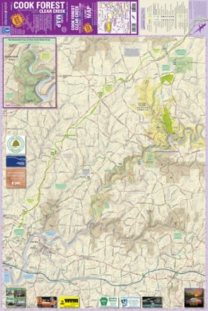
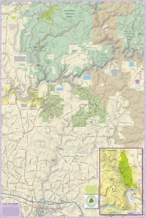
- Purple Lizard MapsCook Forest Clear Creek Map$17.00


Sort: Best Match